Walking and Sailing

Month: September 2023 (Page 2 of 3)

AA Day 18

Today’s trail description includes the sentence “Whilst most active sports lovers take the cable car to reach the summit, the Alpe-Adria trail leads towards the summit along forest tracks…”

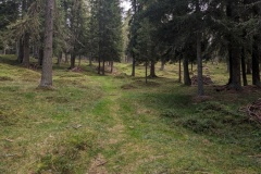
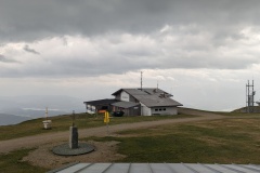
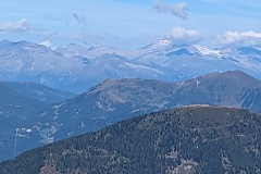
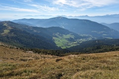
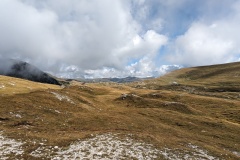
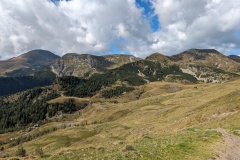
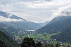
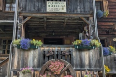
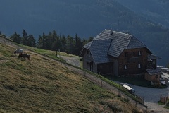
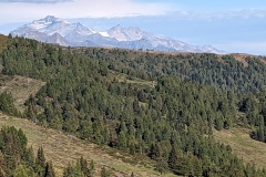
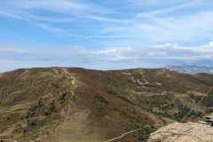
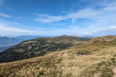
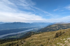
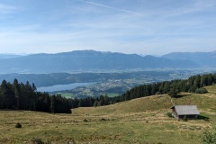
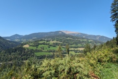
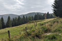
Surely active sports lovers would much prefer walking the 1197m vertical to the summit we said to ourselves this morning as we left the hotel, walking out of the village downhill on the road.  The downhill section didn’t last long before we started the long uphill section.  (There was some impressive damage repair taking place in the valley following the rain of two weeks ago.  Two bridges had been damaged and the banks of the river were being stabilised with boulders.)  We were initially walking on road before we changed onto a forest trail.  This road was in good condition, but a fairly shallow gradient, which meant long stretches between each of the zig-zags up the hill.  A gap in the trees allowed us to see the top of the Gerlitzen, the end of today’s stage.  We stopped for lunch (crisps and sultanas) just where the road ended.  The path then worked its way almost straight up through the pine and larch forest.  The trees were widely spaced, allowing grass to grow, and there were numerous large ant hills.  We had now reached 1655m and had a relatively flat section before suddenly reaching the end of a tarred road and seeing “several romantic Alpine lodges”.  We then met the Germans with their dog; they had taken a lift from the hotel all the way to the start of the forest section this morning!  From here we had the choice of going via a water park, or walking the road directly to the top.  The wind was increasing and the mountains to the south had disappeared in the storm clouds, so we decided to take the fastest route.  We still had 230m vertically to go, with the wind increasing all the time and the valley below us disappearing in the rain clouds.  We made it to the hotel and remarkably it still hasn’t rained.  The top, with several ski lifts dotted about, is a desolate place.  The wind has now dropped, as we no longer hear it in our bedroom.  The bedroom seems to have had a very recent facelift with a very fancy, large, bathroom, and the hairdryer definitely unused.

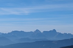
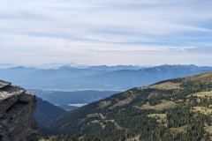
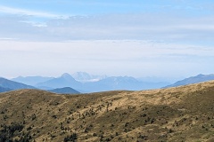
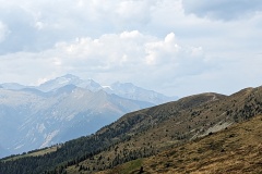
If it was clearer, we would be able to see the Slovenian mountains to the south.  We will have another rest day in two days, so will be into Slovenia in six days.  Na zdravje!


AA Day 17

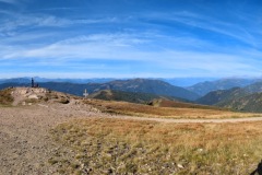
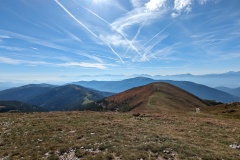
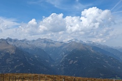
We stayed at the Explorer Hotel in Bad Kleinkirchheim.  This is number nine in a chain of ten, opening a new one every year in Austria or Germany.  Facilities included cubicles for bikes or skis in the reception area, a bike repair station, and bike washing facilities.  They were also advertising fell-running and cross-country ski courses.  Not many people in the bar yesterday evening, but plenty at breakfast, where you could cook your own eggs as you wanted them.  We were presented with a card each which allowed (amongst other things) free access to the Kaiserburg cable car.  We decided to use this, as the cable car took us to near the top of the mountain, saving us at least three hours of climbing up 1000m on the Alpe-Adria trail.  We had a 25minute walk to the cable car along a path next to a stream, and then were whisked to the top.  From there, it was a short uphill walk to the summit of the Wollaner Nock at 2145m, which provided 360 degree views of the surrounding mountain ranges.  We headed south, dropping off the summit before climbing to the summit of Vorderer Wollaner Nock at 2090m.  From here we could see Arriach far below us in the valley, our destination for the day.  We had left most of the people on the first summit, and from here we hardly saw another person.  The path dropped quickly off the summit before joining a forest track.  This slowly worked its way down the hillside.  We stopped and had our photo taken by a webcam at the “geographical centre” of Carinthia, before finally getting onto tarred road.  The road quickly took us to Arriach.  We did some washing and then had a nice dinner, finishing off with a visit to the hotel’s wine cellar.


AA Day 16

After yesterday we decided not to do another day of 20kms and1000m up and 1000m down, but instead walk down the valley to Bad Kleinkirchheim, the end of the stage.  This took us less than 2 hours.  We found a cake shop and enjoyed cake and coffee.  A nice relaxing day.  (The map shows all the peaks to the east that we didn’t climb today)


AA Day 15

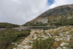
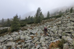
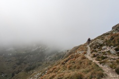
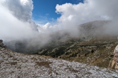
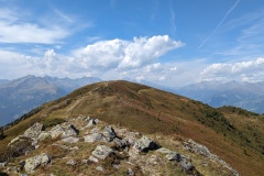
The day started with a 1.5km uphill walk to the start of the stage.  We made good progress on forest tracks before crossing some moorland.  There were big cliffs to our right and we knew that we would eventually be on top of them.  The trail led steeply upwards through an area of woodland, finally finishing at a lake, where we stopped for a rest.  The next section led through a massive boulder field, which we crossed by stepping from boulder to boulder, continually watching out for the trail markers ahead.  This was slow progress, with our speed down to less than 2kph.  Low cloud was blowing over us all this time, with glimpses of sunshine.  We then walked on one of those narrow paths with nothing to stop you if you should put a foot wrong.  This included some sections where the step up or down the path was a metre high, requiring even more care.  The path took us to the top of the cliffs and we were now in an area of rolling moorland.  We reached the summit of the first hill, then followed the cairns up to the second peak.  The mist was still rolling about, giving impressive views.  The path finally dropped down the side of the mountain in a long series of zig-zags, before climbing up to the next peak.  The path led round the peak rather than going to the top, and if I thought the last path was exposed, this was a lot worse; a steep slope below you for maybe 50m, and then you couldn’t see any more of the slope before it disappeared into the valley far below.  We were now only about halfway through the walk and had another steep descent, before yet another climb.  We stopped at the top of it and could see our entire route up to that point.  We had walked NW, NE, E, and S, and were now not very far from where we had started the day, but considerably higher.  The path finally dropped through the woods to the end of the stage.  (We missed one sign and ended up on the wrong track.  Luckily it was far before we realised our mistake.)  We then had another 100m of climbing to get to the hutte, where we were warmly welcomed by the owner.  In comparison to last night, this had been entirely renovated, with a lovely warm shower room.


AA Day 14

We left Dollach and walked up the valley on an easy path alongside the river, only going up 120m in 5.5km.  We then climbed about 300m in 1.5km on a forest path, which was extremely steep in places.  We then got onto a road, before this turned into a forest road, which sloped upwards through the valley, but on a much better gradient.  It was about 6.5km to our accommodation.  We hadn’t managed to get booked in the hutte at the end of the stage as it was full; our hutte was about 1.5km before the end.  This was the most “rustic” place that we’ve stayed.  We were the only people staying, and had our own bedroom (no heating).  We joined the owner in the kitchen to chat as it was nice and warm.  We had made fast progress getting to the hutte as the weather forecast was not good.  About an hour after we arrived the rain came hammering down and we were very pleased to be indoors.  A German couple arrived, having driven up the track (very slowly) in their Porsche 911.  They stayed for dinner and then left, and we continued chatting to the owner.  Later a neighbour arrived.  He looked after 130 cows spread around the hillside.  They are now beginning to move them down for the winter using a trailer rather than walking them down.  We had an early night as tomorrow is one of the harder days on the Alpe-Adria.


AA Day 13

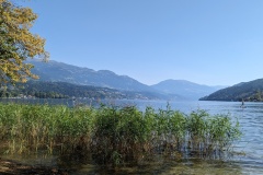
The forecast wasn’t very promising for today; rain in the afternoon, so we decided on an early start to try and get over the tops before the rain.  The hutte is a working farm and breakfast featured all their own produce.  There were all sorts of cold hams, cheeses, butter, yoghurt, milk, jams, sour dough bread, and pancakes.  We left the hutte at 8:30 and made rapid progress in the gentle uphill trail past the next hut.  The trail started steepening, but it was fairly quick to the mountain top.  Again, there were fantastic 360 degree views.  We walked along the ridge to the next high point, where there were three people sitting.  The route started to descend and we suddenly started meeting people.  We must have passed 100 people on this section of the trail, many struggling upwards very slowly and unprepared for the forecast conditions.  We reached the car park where everyone had started from and enjoyed apple strudel, coffee, and a soft drink in the hutte.  We continued on the Alpe-Adria trail, and from here did not meet another person for the rest of the day, but there were plenty of cows.  It was a huge descent, over 1500m, with the first section along gently sloping forest tracks, which meant walking a long way.  We were about three quarters of the way down the descent when the drizzle started.  We carried on for a while, then stopped to put the covers on our rucksacks.  It was very humid with not too much rain, but about 20 minutes later we decided that rain jackets were the sensible option.  The trail finally steepened as we approached Matzelsdorf.  The final section along the lake led us round various private areas next to the lake.  We walked to the Alpe-Adria marker at the end of the trail, then continued on the next leg to our hotel in Dollach, a further 2km.  The holiday area at the lakeside seemed to be mainly holiday chalets (with one “romantic spa” hotel), but was deserted compared to Seeboden at the other end of the lake.  Our hotel in Dollach is in a building over 100 years old, but is very modern inside.  As I write, we are enjoying our first cocktails of the trip! 
The weather over the next few days looks a bit mixed.  We have a short day tomorrow, then a couple of mountain stages.  If necessary, we can take lower level routes rather than the main trail.


AA Day 12

We had a rest day in Seeboden during which we didn’t do very much at all.  Christine posted some postcards and we stocked up on our supplies of fruit and nuts.  Then we went and relaxed by the swimming pool at the hotel.  Someone had commented that tomorrow’s walk was tough; 21kms and 1600m of ascent, but you could cut part of it by using the local taxi service.  Given the heat we decided this was a good idea, so arranged a pickup and confirmed it by phone.  (The best laid plans of mice and men….). 

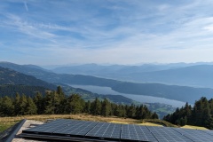
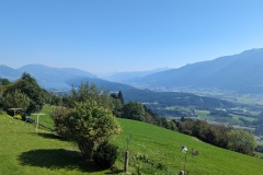
Yesterday and today we had our best breakfast in Austria.  A huge range of fruit juices, cereals, breads, fruit, cold meats, cured fish, cheeses, eggs cooked to order, and cake.  We left the hotel and stood at the pick up point.  No taxi.  After 15 minutes we phoned; “we don’t have any reservation for you, you can have a taxi at 12:30”.  We went back into the hotel and spoke to the manager, who turned out to be the owner of the hotel.  He phoned the taxi company, then came off the phone and said he would drive us.  This was great news, and as he took us up the mountain Gerhard told us he was a member of the mountain rescue team.  During the COVID years they had over a metre of snow in the valley, last year it was about 50cm.  We reached the end of the road, glad that we had got a lift rather than tramping up the road in the heat.  The route took us along forest tracks, finally reaching another hutte, with several cars parked at it.  We were now above the tree line and made rapid progress to the top of the Tschiernock (2088m) with fantastic views in all directions.  The 3000m peaks to the NW where we had come from, and lower to the SE, but still ridge after ridge going into the distance.  The route went along the crest for a few kilometres, before we finally dropped down to the hutte for the night.  There are incredible views to the lake below us, with mountains disappearing into the haze.  We sat outside for dinner, with an old man playing the accordion, and his pal singing along.  The forecast for tomorrow is rain, so we plan on an earlier start to try and get down to the valley before the weather deteriorates.


AA Day 11

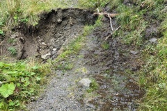
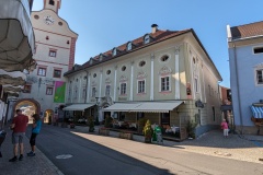
A late start as it wasn’t very far down the valley to Seeboden.  We left Gmund on a side road, which then led us onto a forest road.  We then encountered a sign saying “path closed due to landslide, follow diversion”. This led us, on a slightly higher path, back the way we had come.  We joined up with the tarred road that we had been on and cursed whoever it was that hadn’t signed the diversion earlier.  The road meandered along the hillside, but gave us the chance to spot the route and bridge where we had walked yesterday.  We finally reached a sign that directed us onto another forest track, which finally joined up with the Alpe Adria trail.  There was a quick descent and we then walked on paths through mountain pasture before reaching the outskirts of Seeboden.  It was a surprise to see (and smell) a working dairy farm in a street full of houses.  We carried on past our hotel to a park at the lakeside, where there was a marker to show the end of the stage.  One of the German couples had arrived before us and were paddling in the lake.  There were crowds about, all enjoying the lake and the heatwave.  We said goodbye to the Germans as they carry on tomorrow and we will have a rest day.  Unfortunately, there’s no launderette in Seeboden, so we did some clothes washing before we went out to eat.  We ate in a restaurant beside the lake, with a lovely view.  I had an excellent hamburger and Christine had tuna salad, followed by ice-cream.  As we left, we met the other Germans, with Lou the dog.  Again, we said goodbye, though we assume we’ll see them all sometime over the next 26 stages (days) as everyone is planning rest days.  


AA Day 10

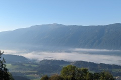
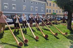
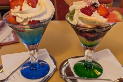
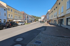
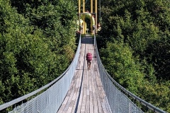
We woke to mist filling the valley below, which burned away by breakfast time.  There was a good breakfast of rolls, bread, various hams, and cheese.  The guide book promised “all downhill on quiet country roads”.  The exit from the guest house, and the next few hundred metres were all uphill….  We reached the crest and the forest track did indeed go downhill before joining a tarred road, passing through several groups of houses.  This being Saturday, there did seem to be quite a lot of cars heading into the valley, presumably for shopping.  We got back onto another forest track and then reached the Drachenschlucht suspension bridge.  This was definitely not somewhere to drop your phone.  We then passed through an adventure playground for children, with a lot of families, and started on the road down to Gmund.  There were quite a few cars coming up to the park, but after a couple of kilometres we got onto another track.  From there there was another short section of road to get us over the motorway, and then a path into Gmund.  After the other “tourist” towns that we’ve been through, it was a surprise to see this one packed with tourists.  There was an alphorn band performing, as well as a wedding taking place, complete with its own brass band.  We enjoyed a really good ice cream each (see photo), checked in to the hotel, then went for a wander around town and visited the Porsche museum.  It was fascinating to hear that the first vehicles they developed were either electric or petrol/electric hybrid.  In the 70s, they produced a vehicle entirely from recycled parts, but decided that it was not a good commercial idea.  We went back to the main street and wandered round the shops; the centre seemed to be quietening down a bit from earlier.  Our hopes of getting to a launderette were dashed as it turned out to be dry-cleaning only.


AA Day 09

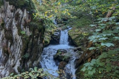
We had a good breakfast and set off on the track alongside the river.  Nice and flat, and we made fast progress to the next village.  We walked through the village and then entered the gorge (no fee today), supposedly following the route that Barbarossa took with his troops on return from one of the Crusades.  Quite why he would want to lead his troops up a narrow gorge, going nowhere, wasn’t obvious.  However, according to the story described on various plaques on the way up they saw a beautiful woman bathing in the water, then one of his troops drank some water which didn’t quench his thirst.  After this a hermit appeared, men drank more of the water and turned into stone.  Barbarossa’s companions fell asleep and he fought and vanquished the devil.  We then reached the top of the gorge, having survived any possible evil spirits.  The forest road tracked along the hillside, then turned into a tarred road so we again made good speed.  We passed an enclosure with three ostriches, and lots of other farms along the hillside.  We finally left the tarred road and followed a narrow path up to a restaurant where we enjoyed a cold drink.  The tarred road then gradually lost height as it went along the hillside, leaving us with a final climb in the heat up to our night’s accommodation.  As we neared the guest house the Germans’ luggage taxi passed us, also carrying them!  We had a drink on the veranda and the other two Germans also arrived.  They couldn’t understand how we had reached the finish before them as they had left before us this morning!


« Older posts Newer posts »

© 2024 Travelling Slowly

Theme by Anders NorénUp ↑