Walking and Sailing

Month: August 2024 (Page 2 of 3)

GR10 Day38

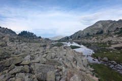
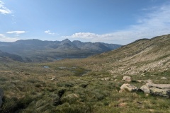
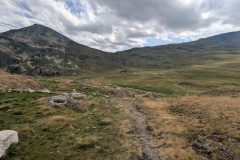
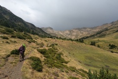
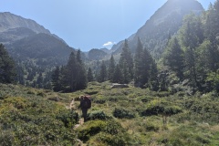
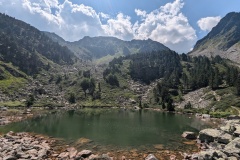
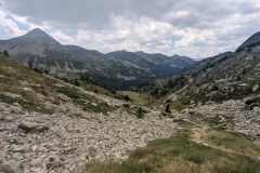
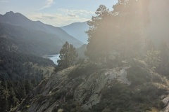
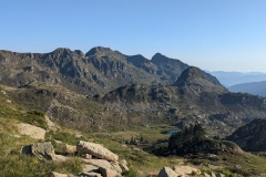
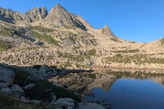
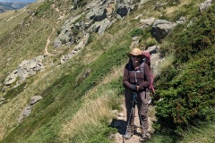
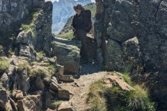
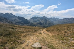
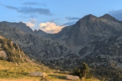
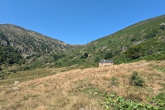
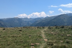
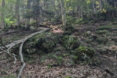
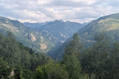
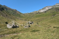
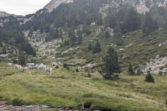
Today was to be a longer walk, but with a lot less climbing.  The path initially led down from the refuge (after another poor breakfast) and then started to climb up a broad valley.  We caught up on a group of about eight people and managed to pass them on the flat.  This seemed to upset the leader of the group, who increased his pace to follow us.  We then reached the first climb, so it was non-stop to the top to avoid them catching us.  We made it to the top and kept going, and the big group stopped, so we quickly got away from them as we started the descent.  This took us into a broad valley, past a lake, and then we started climbing again.  There were a few places where the granite boulders were too big to step across and some scrambling was required.  We got over the top, luckily the strong wind was on our backs, and felt the odd spot of rain. We descended into a very broad valley, and the rain turned from a few spots to heavy.  We put our jackets on, stood behind a large boulder, and had a cookie each.  The rain wasn’t going to stop, so we set off again.  The rain decreased and we then had a shower every so often as we continued down the valley.  The scenery was very Scottish; a very broad valley, a few trees, and granite boulders.  It was at least an hour of walking before we finally reached the next valley, with a large hydro-electric lake in it.  I thought there would be a lovely flat road around the lake.  Unfortunately not, as we spent an hour working our way along the lake on a path through boulders and tree roots.  We finally reached the dam and marched across it as the rain returned.  The auberge was at the other side, and we were soon in our room and drying out.


Total distance: 17907 m
Max elevation: 2483 m
Total climbing: 956 m
GR10 Day37

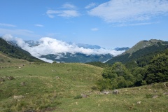
We left at 9am after another poor breakfast.  The old path immediately started climbing and twenty minutes later we were as the hot pools.  The water temperature was about 30C, but strangely the spring that could be seen flowing into the pools was cold.  We walked on past, climbing alongside a stream and finally crossing it, where we stopped for a break.  The path now turned into a much narrower valley and the gradient increased.  We stopped at another lake for a rest, before starting on the climb up to the col.  The path was not too bad and avoided most of the boulder fields.  Cloud was forming, so we were not in direct sunlight for most of the climb.  The descent was on the usual poor path down to the valley.  We could now see thunder clouds forming, so kept up our speed.  The path flattened out in the valley floor and we could see the refuge, unfortunately higher up than we were.  It was only a short climb, and time for a beer, soft drink, and crepes.  The refuge was busy, mainly because people were worried about the weather.  Thirty minutes later the wind picked up and the rain started. The common room was packed; many were hoping to walk further and others were waiting for the rain to stop to pitch their tents. 

The water at the refuge is contaminated (we had been warned about this a few days before) and there were lots of warning signs in the refuge. We therefore did not even wash in the evening (or the next morning)


Total distance: 9983 m
Max elevation: 2321 m
Total climbing: 1313 m

GR10 Day36

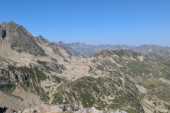
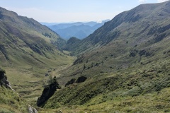
Luckily, we were up early and filled our water bottles before the water ran out.  Today’s walk took us uphill away from the refuge, then across boulder fields as we worked our way round two massive corries.  Great scenery again of the massive granite mountains around us.  We had a fairly short climb to our highest point of the day, before another big descent started.  The first descent took us down into a valley, then along it, before another big descent to the next valley.  We stopped at a small lake, along with lots of day trippers, and I had a quick paddle.  Then it was off down again, finally walking down one of the old cart tracks built between granite boulders, with lots of terracing.  We were running out of cash, required at some of the refuges, so dashed to the station and caught a train (15 minutes late) to the town of Ax Les Thermes, which had several ATMs.  We stocked up on cash, and had time for a fizzy drink and cake, before going back to the station.  Thunder clouds were building as we waited, and when we got back to Merens-les-Vals the thunder and lightning were going off and we could see rain in the distance.  I suggested a taxi, but Christine insisted on walking and we reached the auberge twenty minutes later.  The rain never came as we sat and had a drink before dinner.


Total distance: 13744 m
Max elevation: 2505 m
Total climbing: 537 m


Total distance: 1017 m
Max elevation: 1147 m
Total climbing: 90 m

GR10 Day35

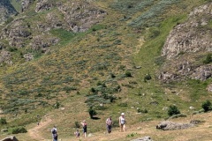
We helped ourselves to our allotted items from the cupboard for breakfast and set off just before 9am.  There was a broad track leaving the Nordic Village, meandering across the plateau and climbing slowly.  We then dropped down and had to work our way through a boulder field, before stopping at a hut where we refilled our bottles with very cold water.  We then started to climb up a broad, grassy slope.  We had made good progress to this point, but progress now became very slow as we worked our way along the ridge.  We were just below the crest of the ridge on a narrow track, with a very steep drop-off.  There were numerous areas where we had to scramble up or down a few metres.  We finally reached the end of this section and started the descent.  I was standing on the ridge, with a couple of higher points either side of me.  I was looking down the slope, when suddenly there was a great whooshing noise, and an eagle dived a couple of metres above my head.  It continued its dive down the slope, as I looked at it, thinking “what on earth was that?”.  As I watched, it pulled out of its dive and shot up into the sky far above us.  Christine was standing looking in amazement as this happened.  We then had a short climb and a very quick descent to the refuge.  There are crowds of people, including lots of children, and a few babies!  How they got here we don’t know, though definitely not our route.  We’ve got a room to ourselves and had a good evening meal.  No showers though, due to a water shortage.


Total distance: 14381 m
Max elevation: 2375 m
Total climbing: 1023 m

GR10 Day34

The earliest we could have breakfast was 7:30 as the owner had to get bread from the shop.  This was a bit of a problem as today was going to be the longest walk of the entire GR10.  We also ordered sandwiches, which came with ham, tomato, cheese, and hummus in French bread.  This was also a potential dinner for us in the evening to avoid having to cook. 

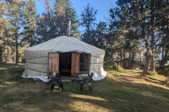
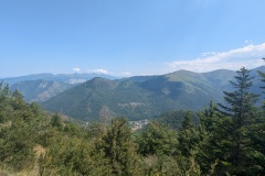
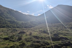
We climbed out of the village, passing through Gesties.  As we left Siguer, I mentioned that it wasn’t too hot, but we were both soaked in sweat by the first village.  The climb kept going up through the trees and we eventually reached moorland.  There was a long stretch before we started descending down through the bracken to the valley floor, where the path took us alongside the steam.  We crossed the valley and started climbing again. This path was quite good, being covered in beech leaves and nuts.  We speculated that the path down the other side would be equally good.  At the top we had another big descent.  Unfortunately our hopes were dashed as the route went down the slope between the trees and boulders.  There were lots of “paths” and we often had to stop and look down at the trees ahead to spot the next GR marker showing the way to go.  We finally reached the bottom and had a brief flat section before starting climb number three.  The path zigzagged up through the trees, finally getting above them onto a rocky ridge.  We stopped to fill up our water bottles at a spring, deliciously cold, and a few minutes later we were on the Plateau de Beille.  Another couple of kilometres on a rolling track for us to the ski centre and the “Village Nordique”, our home for the night.  We left at 8:10, and arrived just after 19:10, so eleven hours including stops.  We had a yurt for the night.  There was also a small shared cabin in which you could buy and cook food.  We finished our sandwiches and crashed out to the sound of an accordion and trumpet playing traditional French music.


Total distance: 23287 m
Max elevation: 1906 m
Total climbing: 2488 m


GR10 Day33

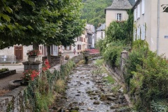
Today was a relatively short day.  This means you tend to get up late, start walking late, and the temperature has risen.  We had breakfast at 8am, and started up the path to the first village.  We were soon extremely hot and sweaty.  Luckily, we didn’t have much more climbing after that as the route took us along a shaded forest track, paralleling the contours.  We reached a closed refuge and sat in its veranda and had snacks for lunch.  The track continues to the col, and then we started dropping down, again on old farm tracks leading through old terraces.  We reached the first village and went down the old path to the next village.  Another path led on down through more terraces to the village of Siguer.  All these paths and terracing must have been a huge amount of work with no mechanical equipment.  The hotel in Siguer was a big surprise; two or three old buildings had been knocked together and renovated to create a quirky boutique hotel, which had featured in various magazines.  For once, our bedroom was not on the second floor, it was on the third!  The owner seized Christine’s bag to carry it up to our room, which featured a bath. 
We sat out on the terrace for a drink before a very good dinner. 


Total distance: 17605 m
Max elevation: 1551 m
Total climbing: 922 m


GR10 Day32

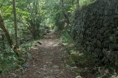
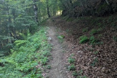
It was raining as we had breakfast in the dark.  We put the covers on our bags and our rain jackets on but the rain had stopped by the time we were out the door.  After twenty minutes walking we took our jackets off as it was too warm wearing them.  The path left the road and started its climb to the plateau through the woods.  The path was an old track, and in many places had walls constructed from granite boulders.  Water was dripping from the trees and the humidity was high as we made our way upwards.  We reached the plateau and then started the climb up to the col.  The path was generally good, taking long zigzags across the hillside.  At the col, the GR10 continued upwards and then on to a refuge.  From there, we would continue on and descend to the village of Auzat.  However, a GRP path went in the direction we wanted and would save us a good lot of climbing, so we followed it down into the next valley.  The path down from the col was not good, but improved as we reached the valley floor.  We then made good progress, and looking at the map, saw that a path ahead would take us directly to Auzat. We found the path, headed down it, and were soon at the village of Saleix.  An even smaller path here took us down and into the centre of Auzat.  We stopped at the bar for a drink and then headed to the hotel where we sat outside waiting for the owner to turn up.  A couple of phone calls and he confirmed everything was ok, and then a longer wait before he arrived.  We had a great meal in the attached restaurant.


Total distance: 17491 m
Max elevation: 1796 m
Total climbing: 1152 m


GR10 Day31

As we left the gite there were two loud rolls of thunder.  Thunder had been forecast for the afternoon, but not at 8am!  Luckily, nothing came of it.  We immediately started to climb.  The trail was very steep in places as it worked its way up the hillside to intersect with the GR10.  Reaching the GR10, the angle eased considerably, and we soon reached the first col.  We must be getting fitter as we were significantly faster than the time on the signpost.  We worked our way further uphill and then had to traverse along the hillside on a very narrow path.  It was a case of don’t look down, and don’t trip.  We had been working our way round a large ski area and we now reached a restaurant that was open.  We stopped for a coffee, but unfortunately no cake as they were still preparing for lunch.  The descent started and we had to work our way along one side of a valley before crossing a bridge and coming back on the other side.  The descent steepened considerably and we had to contend with mud and slippery wet rocks.  At times we zigzagged down short sections of cliff.  In many places the step down was large, so with all these problems we made slow progress as we descended.  We eventually reached a junction where straight on led to the village and turning right allowed you to follow the GR10 to the village, but taking two hours longer.  Of the seven people we saw on the GR10, all including us, took the direct route.  

Coming into Aulus-les-bains, we were amazed at the number of parked cars.  All the spaces in the village were full, and there was a long line of cars parked on the road leading out of the village.  There doesn’t seem to be anything special happening in the village tonight.  

Our accommodation does not supply breakfast and the cafes don’t open until 8am, so we have purchased some supplies as tomorrow will be a long day and we need to start early.  We have about 1km up the road at the start before the GR10 branches off, so we’ve decided we will try and hitch a ride if anything passes us on that section, which will save us about 2hrs of climbing.  Fingers crossed for tomorrow!  The rain had just started at 6pm, but no thunder yet.


Total distance: 15515 m
Max elevation: 1653 m
Total climbing: 1106 m

GR10 Day30

Today was another day that we walked the GR10 Variant, as the GR10 headed into the mountains for two days with a night spent in a tent.  The Variant was described as “traversing the steep southern slopes of Serre de la Plagne on paths of packed mud, which will be very slippery in the wet”.  Yesterday we walked for a few hundred metres on a very muddy path through woods and therefore decided that it would be easier today just to walk along the road.    We left the gite, following a narrow path cut through long wet grass.  It wasn’t very far before we were onto a farm track, and then reached the road.  We made good progress along the road, with only a slight climb.  We walked through a couple of villages, reaching a junction where we turned onto a minor road.  Surprisingly, all the traffic (not much) also seemed to be using that road, which would eventually lead into the next valley.  We had been in the shade of the hill until then, but now turned to walk more eastwards, so it was time for sunhats and dark glasses.  We reached another village and at this point turned onto an even narrower road.  We stopped for a rest (and to waste time) at a small castle overlooking the main valley then continued up the side valley.  The next village we came to had a bar, so it was time for an Orangina and some water.  Twenty minutes later we were at the gite, which is a converted school building.  We have our own bedroom with ensuite and another great view from the window.  Tomorrow, we head back into the mountains on the GR10, hopefully refreshed from our two easy days.


Total distance: 15822 m
Max elevation: 790 m
Total climbing: 302 m

GR10 Day29

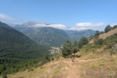
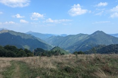
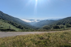
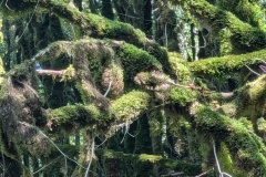
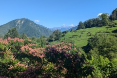
We had a relatively late start as today was going be “valley walking”.  We left the village and walked up the quiet road, keeping up a good pace.  Nearing the top of the valley we left the road and followed the GR10 path.  The first section for about 50m was extremely steep, but flattened as it joined an old cart track.  The track led upwards gradually and we could keep up a good pace, finally rejoining the road at the col.  We had a long rest at a picnic table, as it had taken us less than two hours to reach the highest point for the day.  The path down the other side was good with a grassy surface or old farm paths.  We reached a gite and had another long stop, and enjoyed a home-made lemon and basil sorbet each.  Despite being remote, a tarred road led away from the gite and we followed it for a few more kilometres.  We then had to follow another path which, despite everything else being dry, was extremely muddy in places.  This required careful testing at times, to avoid going in up to your ankle.  We tried not to linger too long, as every stationary item, apart from the path, was covered in moss: rocks, tree trunks, branches…  The path climbed and we assumed we would get onto a drier section, but the mud continued.  We finally joined a small road and then had a short uphill section to the gite.  There was a great view from the veranda towards the southeast showing us where we will be walking for the next couple of days.   We have another easy day tomorrow before we climb into the hills again.


Total distance: 18621 m
Max elevation: 1402 m
Total climbing: 876 m
« Older posts Newer posts »

© 2024 Travelling Slowly

Theme by Anders NorénUp ↑