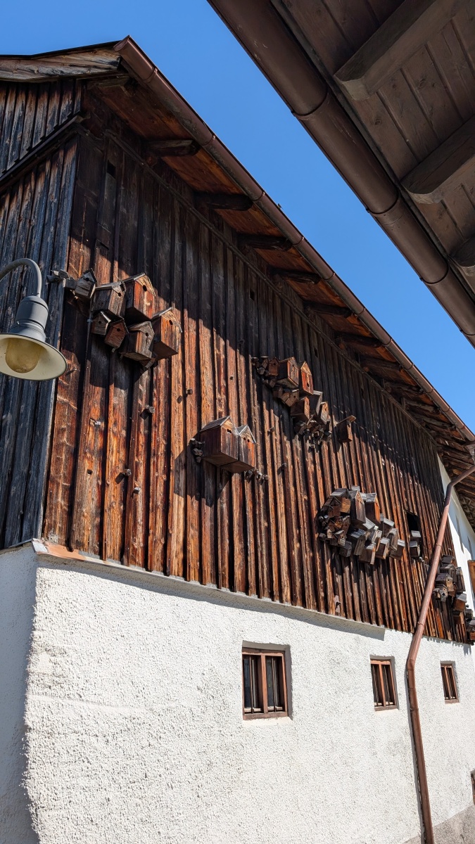
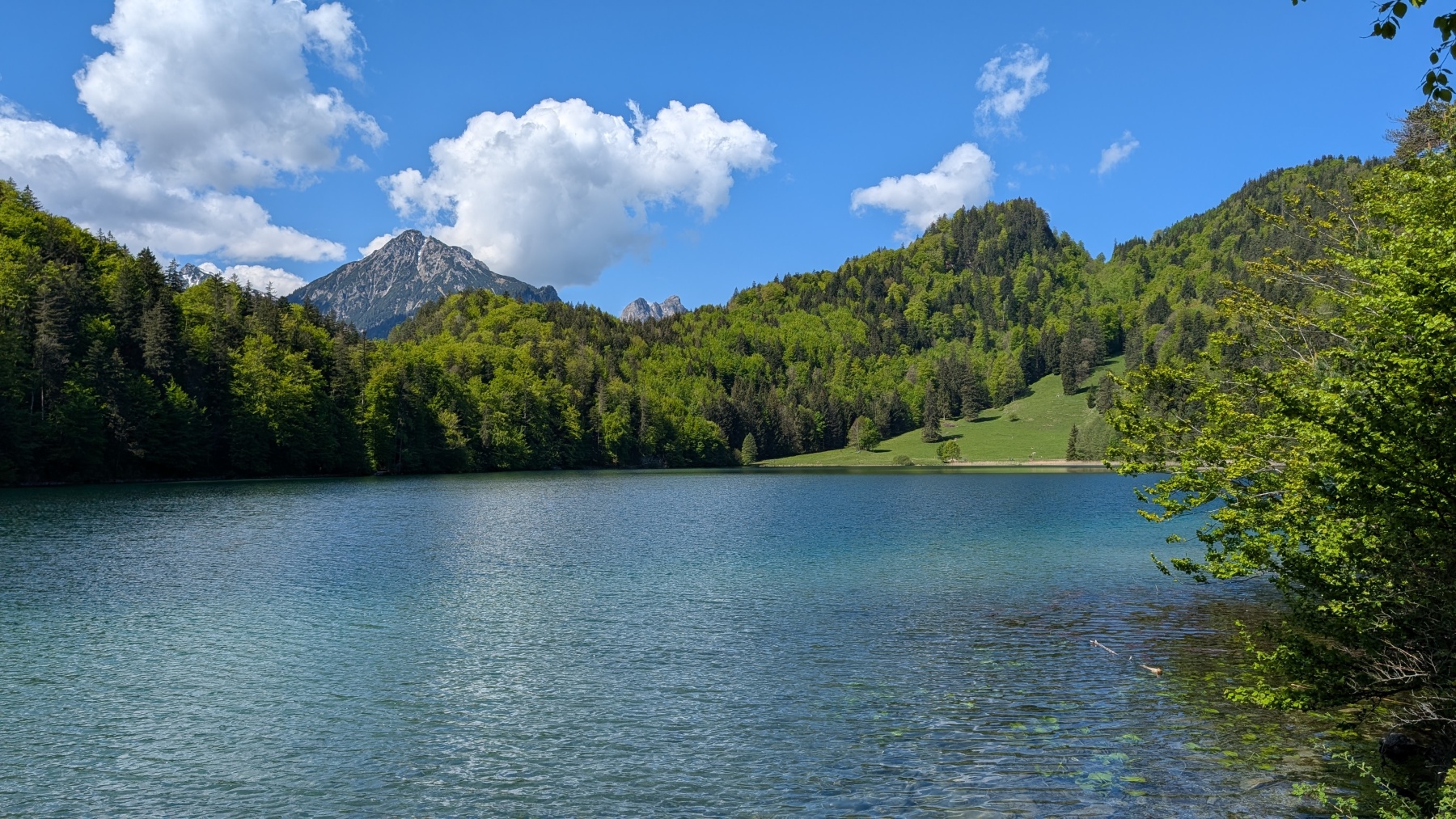
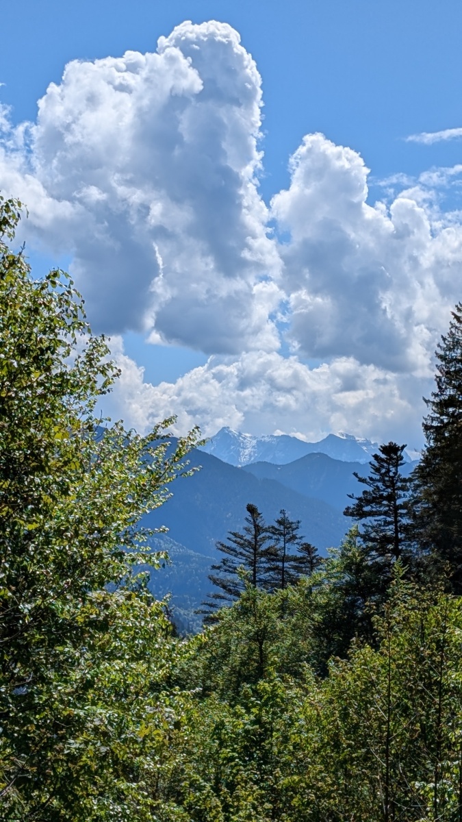
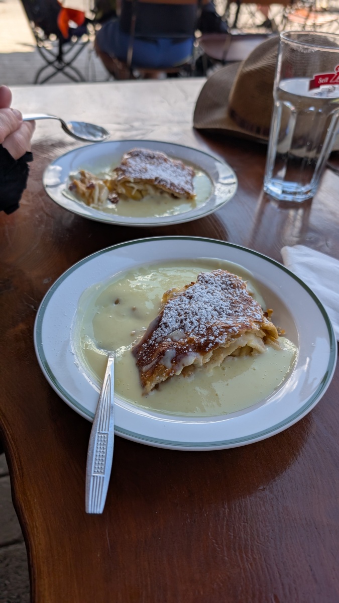
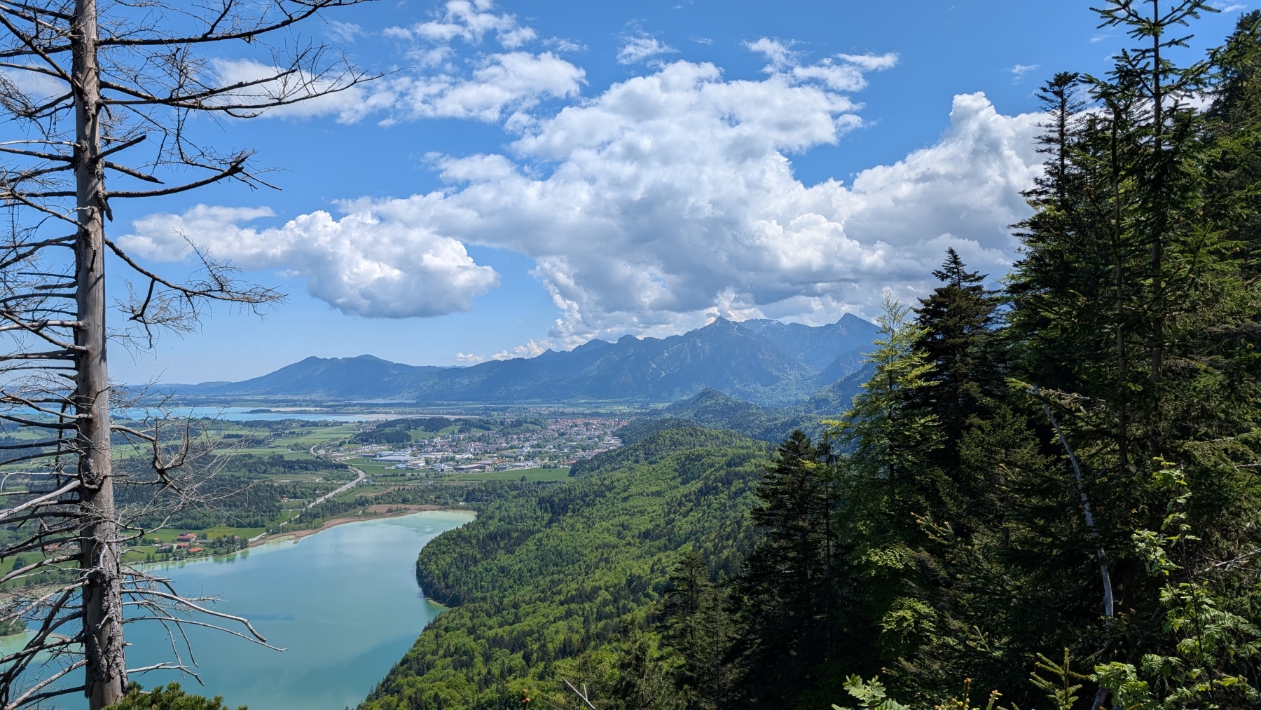
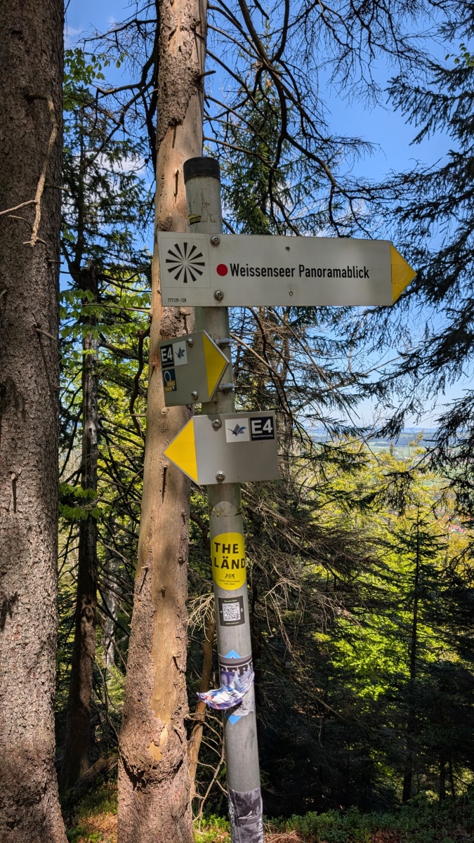
Our first day, and a good breakfast to start the day! It was a leisurely start as we didn’t leave the hotel until 10am. The first part was on a good road past a couple of small lakes. The route then went on to a graded track which zig-zagged up the hill. We finally reached the top where there was a restaurant just over the border in Austria. We both opted for the apple strudel with custard. I’m not sure whether this was elevenses or lunch as it was about 11:30 when we ate. The track then became a lot narrower as it wound up through the trees. The route followed the border and there were numerous markers. The newer ones were marked Germany and Austria, while the older (1844) were marked Austria and Bavaria. There were great views to the north across the German plains, and at other times south to the mountains. The path (signed as the E4, Maximillian Way, and Via Alpina) worked its way along the ridge and finally reached the highest point. From there it was gradually downhill, then a steep descent, before reaching the road. The road took us through meadows before reaching the outskirts of Meilingen. We unfortunately didn’t bother reading a sign, and 400m later discovered the path was blocked. A quick march back, and it was down a village road, before rejoining the official route. We then had a couple of kilometres through the town to our accommodation on the west side of Pfronten. This means that we can get on to the route quickly tomorrow. We walked back in to town and had a great meal; proper Wienerschnitzel and Christine had white asparagus with hollandaise sauce (and a cocktail each to start). This was a fairly easy day to start our trek; we have a few more easy days before heading into the mountains
Max elevation: 1294 m
Total climbing: 698 m
