We had a great dinner last night (preceded by a lovely cocktail each) and the best breakfast so far on our walk. Everything fresh, lots of choice, and many things homemade.
The GR10 heads south from Cauterets for a day, then east for a day, then back north for a day, finishing at Luz-Saint-Sauveur. The two overnight stops on this section are in unmanned bothies, so you need to carry food and camping equipment. As we are doing neither, our route therefore followed the old GR10 route, which is now classed as a “variant” but would take us directly to Luz-Saint-Sauveur.
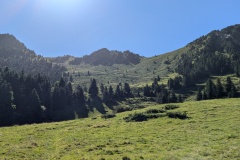
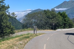
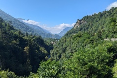
The day started with a climb, and would continue like that until the col at 1955m. (We started at 920m). The uphill was generally at a very gradual gradient, at which we seem to walk well, and we made good progress through the trees, onto the open hillside, and finally to the col, actually getting to the top faster than the quoted time in the guide book, and over an hour faster than on the sign posts (though we always seem to beat them). We had a rest at the top and had a chocolate tourte (cake) each to celebrate. The drop down into the valley first took us down the ski slopes, then down old farm tracks that cut the hairpin bends on the new road. Again, the gradients were shallow which meant we kept up a good speed (though it means the zigzags are a lot longer). We walked the final section down the road as the GR10 was heading back uphill, to keep you off what was a very quiet road. Our accommodation is in a hotel in another(!) old spa village, with several hotels and a few houses. Napoleon III and Eugenie stayed here for two months to take the waters in the 1850s. After checking in we walked up the road to the Napoleon Bridge (designed by one of the Napoleons); it’s a bungee jumping site, but nobody jumped while we were there. If I was trusting my life to someone, I’d like them to look professional, unlike the bunch of hippies that were running it!
Max elevation: 1955 m
Total climbing: 1090 m


