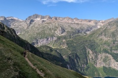
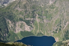
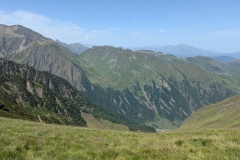
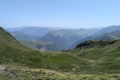
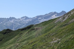
Today was going to be another long day and we had an early breakfast (see yesterday for description) to climb as much as we could before the sun hit us. The path took us along and up the hillside until we were above the waterfall at the far end of the lake. It then took us all the way back along the hillside, gradually climbing, then zig-zagging to the top. Apparently not a “col”, but just a “viewpoint” as we crossed the high point and descended into the next valley. The path worked its way round the valley before starting to climb again. As we climbed, I saw a mobile phone lying on the path. I took it as we guessed it must belong to a Swiss woman who was walking about 30 minutes ahead of us. We were nearing the top of the climb when she appeared, coming back down the trail without her rucksack. We were able to reunite her with her phone and she turned round to go back up to the col. Five minutes later I again picked up her phone! A bit of shouting and she returned, realising that her trouser pocket had a large hole in it. The descent from the col had a short, steep section, and then decreased in dip, with a few steep sections. At the valley floor, we started up again on a gradual climb, finally reaching the ski station of Luchon-Superbagneres. This had been developed as the second French ski destination after Chamonix, and had a huge hotel reminiscent of those that you see in the Canadian Rockies. The descent from here to Bagneres-de-Luchon is over 700m and we had already decided to take the cable car down. This was a very new bubble (built a couple of years ago), was a surprisingly long trip, and we didn’t need to pay as we were only descending. Bagneres is quite a big town, with crowds of tourists. Our hotel was on the outskirts and we ate in a family-run restaurant that had only opened a couple of days previously. Great food!
Max elevation: 2276 m
Total climbing: 1303 m
