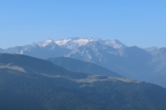
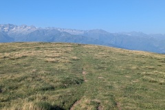
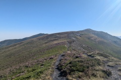
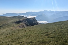
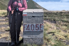
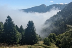
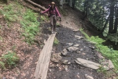
We set the alarm for 6am as today was going to be another long day. The day was just brightening as we had our breakfast and then left the gite. The first section was a series of huge zigzags up a farm track that crisscrossed the hillside, finally taking us high above Artigue. We made good progress, passing a stone shepherd’s hut, and then onto a walking path. The route took us upwards over several hill tops, each with a border stone at the top. We had previously seen markers during our first few days and they were all cut from a single stone, with the details engraved. These were much more utilitarian; made from concrete blocks and the number stencilled on them. We then crossed a narrow ridge and started the descent. This valley was full of cloud far below us. We had been walking in sunshine and speculated on the conditions below: colder, wetter? We finally reached the tree line, and the cloud was about the same level. A lot cooler, but no dampness. We then had a big descent down through the trees on a good path. Many of the zigs were 100m in length on a gentle gradient before there was a sharp turn and we were going in the opposite direction. (This path has been put in as the previous route was deemed too dangerous for a descent). The guide book said 54 hairpins, but we didn’t bother counting. At the bottom we had another 1.5km to walk to the village of Foss and our night’s accommodation. A bit of a scare when we arrived and the owner said she wasn’t expecting us, despite the emails, but it was all sorted out. A good meal (all home cooked) with the French speakers on one table, and the English, Dutch, and Andorran speakers on the other.
Max elevation: 2188 m
Total climbing: 1293 m
