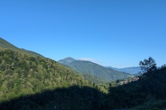
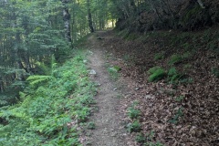
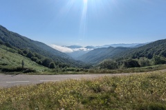
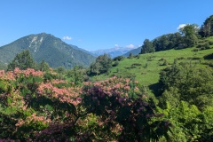
We had a relatively late start as today was going be “valley walking”. We left the village and walked up the quiet road, keeping up a good pace. Nearing the top of the valley we left the road and followed the GR10 path. The first section for about 50m was extremely steep, but flattened as it joined an old cart track. The track led upwards gradually and we could keep up a good pace, finally rejoining the road at the col. We had a long rest at a picnic table, as it had taken us less than two hours to reach the highest point for the day. The path down the other side was good with a grassy surface or old farm paths. We reached a gite and had another long stop, and enjoyed a home-made lemon and basil sorbet each. Despite being remote, a tarred road led away from the gite and we followed it for a few more kilometres. We then had to follow another path which, despite everything else being dry, was extremely muddy in places. This required careful testing at times, to avoid going in up to your ankle. We tried not to linger too long, as every stationary item, apart from the path, was covered in moss: rocks, tree trunks, branches… The path climbed and we assumed we would get onto a drier section, but the mud continued. We finally joined a small road and then had a short uphill section to the gite. There was a great view from the veranda towards the southeast showing us where we will be walking for the next couple of days. We have another easy day tomorrow before we climb into the hills again.
Max elevation: 1402 m
Total climbing: 876 m


