(We must be getting near the end as last night’s wine was from the Banyuls area)
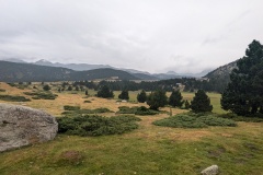
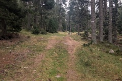
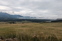
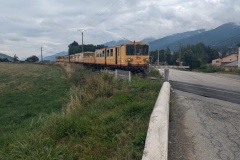
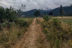
The forecast for the day was not good, and we woke to heavy rain. We delayed our start for it to stop and reckoned if we walked quickly we could get to the end of the stage before the forecasted afternoon rain. The walk (for once) started out on a broad forest track, with only small changes in elevation. It made a pleasant change from the usual “out the door and start climbing”. The forest was interspersed with more open bits of moorland. After a while we were able to take our rain jackets off. All of the area is used for cross country skiing and the trail was very well marked. We gradually descended, passing the edge of an upmarket ski village, and then through the village of Bolquere. From here we walked a short section of road, rather than the GR10, and passed the highest railway station in France. As we got to the level crossing, the gates closed, and “the yellow train” came through. It had half a dozen coaches, with one completely open carriage. We were now in a very wide, shallow valley, stretching to the north east and south west. We crossed the main road and followed a country lane to another village where we were able to buy some food for our lunch. We then walked through some fields, the first time since the Basque country, and climbed out of the valley to Planes, where the refuge was. We had timed it well, as the rain started again just after our arrival.
Max elevation: 2017 m
Total climbing: 350 m
