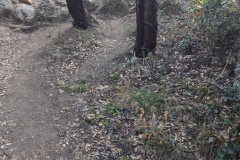
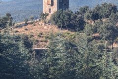
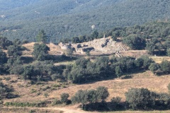
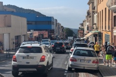
We each had breakfast bags from the restaurant and were all up by 6am. We followed the shortcut, and were soon back on the GR10, walking through a nudist colony. Luckily, we seemed to be there before anybody was working on the farm. The track was very good and we were able to make rapid progress. As usual, the track became a path, and we started the descent to Le Perthus. The town, in the valley, is at one of the main crossing points between France and Spain. We passed the Roman Fort, built to protect the Via Domitia, then a Medieval (?) tower, and finally the huge Fort de Bellegarde (XVII century) before dropping down into Le Perthus. The motorway runs just east of the town, but the town itself was full of traffic. There are no shops on the wholly French side of the border. South of the border, the east side of the street is Spanish and the west side is French. We had a drink on the French side, and looked across at the selection of cigarette shops, drinks shops, etc. We walked the 200m north back into the completely part of the town, and passed a huge carpark for those prepared to walk to the shops in Spain. There were huge queues of traffic in both directions, and another big queue on the motorway as we passed underneath it. It was very hot, and we decided that walking up the road, with its gradual gradient, would probably be easier than the rocky path through the trees. We had a reasonable amount of shade, but stopped at every kilometre marker for a drink. We then reached a point where the road took a large hairpin and we decided to follow a track to cut the corner. The path started well, but then deteriorated into a mixture of brambles and holly bushes. A machete would have been useful as we fought our way through. We could see a bit of path slightly above us and finally managed to get onto it, taking us past an old church. The next piece of track was signposted, and we followed it to rejoin the GR10. This led us steeply uphill, and when it passed the road, we decided it would be easier, and faster, to walk on the road. (We should have kept on the road for the whole ascent; 4kph versus 2kph). Again, we were the first to arrive at the gite. This was a restaurant on the col, with a separate accommodation block, where we had a room to ourselves. For once, our evening meal was the same as what all the other customers had chosen; a salad, bowl of pasta with mushroom sauce, half a baked Camembert, and toast with tomato spicy sauce and ham. Dessert was Greek yoghurt with chocolate bits in it.
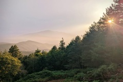
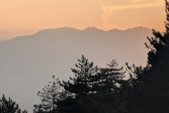
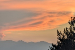
The sunset was superb, all the way back to Pic Canigou, with gigantic thunder clouds over the Spanish side.
Max elevation: 938 m
Total climbing: 1140 m
