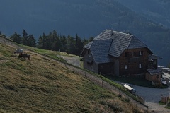
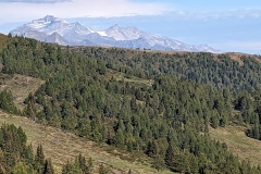
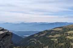
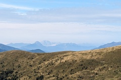
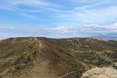
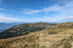
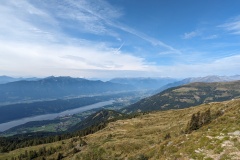
The forecast wasn’t very promising for today; rain in the afternoon, so we decided on an early start to try and get over the tops before the rain. The hutte is a working farm and breakfast featured all their own produce. There were all sorts of cold hams, cheeses, butter, yoghurt, milk, jams, sour dough bread, and pancakes. We left the hutte at 8:30 and made rapid progress in the gentle uphill trail past the next hut. The trail started steepening, but it was fairly quick to the mountain top. Again, there were fantastic 360 degree views. We walked along the ridge to the next high point, where there were three people sitting. The route started to descend and we suddenly started meeting people. We must have passed 100 people on this section of the trail, many struggling upwards very slowly and unprepared for the forecast conditions. We reached the car park where everyone had started from and enjoyed apple strudel, coffee, and a soft drink in the hutte. We continued on the Alpe-Adria trail, and from here did not meet another person for the rest of the day, but there were plenty of cows. It was a huge descent, over 1500m, with the first section along gently sloping forest tracks, which meant walking a long way. We were about three quarters of the way down the descent when the drizzle started. We carried on for a while, then stopped to put the covers on our rucksacks. It was very humid with not too much rain, but about 20 minutes later we decided that rain jackets were the sensible option. The trail finally steepened as we approached Matzelsdorf. The final section along the lake led us round various private areas next to the lake. We walked to the Alpe-Adria marker at the end of the trail, then continued on the next leg to our hotel in Dollach, a further 2km. The holiday area at the lakeside seemed to be mainly holiday chalets (with one “romantic spa” hotel), but was deserted compared to Seeboden at the other end of the lake. Our hotel in Dollach is in a building over 100 years old, but is very modern inside. As I write, we are enjoying our first cocktails of the trip!
The weather over the next few days looks a bit mixed. We have a short day tomorrow, then a couple of mountain stages. If necessary, we can take lower level routes rather than the main trail.
Max elevation: 2091 m
Total climbing: 555 m
