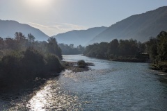
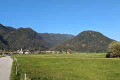
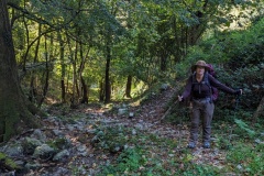
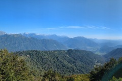
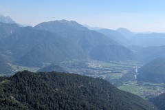
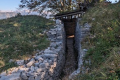
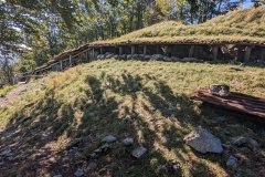
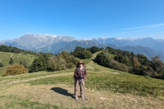
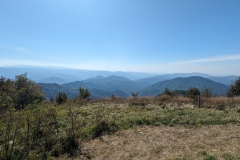
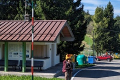
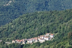
We left Tolmin after an early breakfast as we had a big climb ahead of us. The route was flat and we crossed the Soca river for the last time, before heading for the village of Volce. This was where the climb started, winding upwards through the trees. The path was generally good, though there were a couple of places where the track followed a stream, essentially straight up the hillside. We finally met up with the road again, and had a few more hundred metres of ascent before clearing the trees just below the summit. There were great views to the north of the Slovenian mountains and also of Tolmin, where we had started. The path then took us through an area of Italian WWI fortifications, all reconstructed, leaving you to wonder how the attackers, after the huge climb, had managed to overrun the defences. It was a short walk to the summit, where we could now see Italy before us, though sadly not all the way to the Adriatic due to the haze. A stone at the summit marked the Slovenian/Italian border and we then quickly dropped down to a road. A short distance took us to the Italian customs house, unmanned, and the refugio next to it, where we stopped for a cake and a drink. From there, we continued along the route of the Alpe-Adria, past more defensive positions, before we decided to walk on the road instead. This was easy walking, downhill, and we only saw a couple of cars and one moped. We soon reached Tribil di sopra, where we are staying in the local commune’s hostel. We have a room to ourselves; there’s an Australian couple and a German woman also staying. The evening meal, cooked by a local family, was a Thai/Indian fusion!
The village used to have over 500 people, now there are 30; the restaurant, two bars, shops, and market, have all closed.
Max elevation: 1115 m
Total climbing: 1156 m
