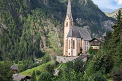
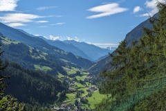
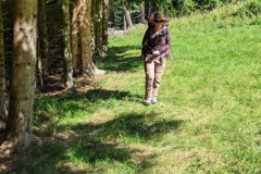
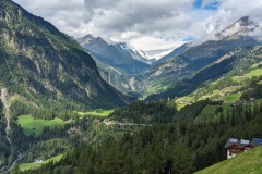
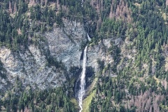
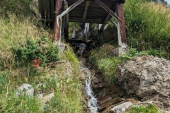
Today’s walk took us through woods and pasture a few hundred metres above the valley floor. Many of the houses seem to be second homes or holiday lets. The route generally headed east, but we had one gorge to cross. The map implied there were two routes; a shorter one at the beginning of the valley or another route that went up the western side to the head of the valley then back down the eastern side. At the junction there was a sign showing “no parents with children” on the shorter route. As we didn’t have any with us, we decided to take the shorter route. The path, looking a bit overgrown, led quickly down to a bridge, then up the other side of the gorge. On this side there were several fallen trees to climb over. We then reached a fence, which again we climbed over. This had “do not enter” for those coming in the opposite direction. We assumed we would now have a clear path to get to the main path, but there was another barrier, with large amounts of dead wood placed on it (see photo). We negotiated this, then finally had to climb a 2m set of horizontal wooden posts to rejoin the main trail. Christine admitted to enjoying our obstacle course. We had great views back up the valley to where we had started, and a spectacular waterfall on the other side. A small stream had several water-powered sawmills on it. The trail then gradually started down to Dollach, crossing small roads several times, as we walked across pasture and through woodland. There were a few sheep, goats, and cows, in the fields. Our hotel was at the end of the stage and we checked in, noticing some walkers had had their luggage delivered. This was classed as an easy stage, and even with a couple of breaks, we managed it in an hour less than the guidebook.
Max elevation: 1555 m
Total climbing: 493 m
