We walked down the quiet road from Innerfragant, and where the Alpe-Adria trail turned off to follow the river gorge, we stayed on the road. This meant we could walk at a good pace, and we then went onto a minor road to start heading up the mountainside. About 2 hours later the Alpe-Adria trail rejoined the road that we were on, so we had saved some distance and height, but had managed to walk a lot faster on the tarmac. The road continued upwards in a series of big hairpins before becoming a graded surface. The hairpins continued until we finally reached over 1500m. the trail started to descend, past one mountain hut, before finally dropping altitude to a large hotel, unfortunately shut on Mondays. We sat under a tree and had our lunch of dried fruit, nuts, and chocolate. The trail then turned into another path through the woods. These tend to be narrow, with plenty of tree roots and boulders, and on significant slopes. If you fall, you’re probably not going to go hundreds of metres down as you will (hopefully) be stopped by a tree, but these paths are definitely not for the faint-hearted. The path finally dropped down to close to the road to Mallnitz. We then had a final climb into the valley and a walk through fields, along the river, and into the town. The town is the busiest place we’ve seen, with lots of day-walkers, climbers, and cyclists. We had a good meal and are now looking forward to the next two “easy” stages after the last two days of significant climbing.
Max elevation: 1557 m
Total climbing: 1133 m
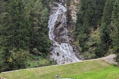
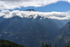
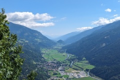
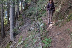
The path looks very tricky but the views are spectacular.
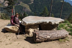
Love the Flintstone’s dining table!