Today was a good example of some of the bad (and good) things about the Alpe-Adria trail. We walked 23km, but finished only 3km due south from where we started (maybe 5km by road). On the other hand, the walking was nice and there was some great scenery.
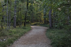
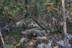
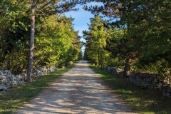
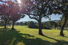
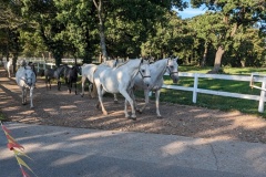
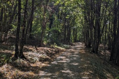
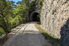
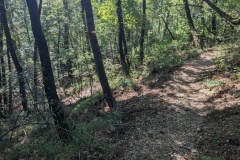
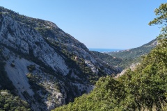
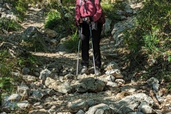
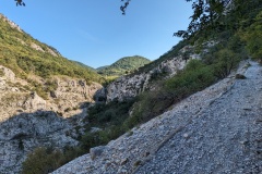
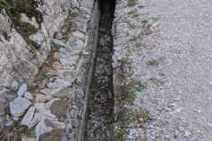
We left Basovizza and had about 5km of walking to finish the previous stage to Lipica. The path was very good as it meandered through the forest. There were lots of information boards describing the birds, trees, reptiles, etc. In this area the ground was littered with huge boulders and it was difficult to imagine how the land could have been farmed. The path then joined onto an arrow-straight old road, which had been built to take trade from Trieste into the rest of the Austro-Hungarian empire. We then passed through a wall marking the boundary of the Lipica estate, which is where the Lipizzaner horses are bred. The wall was built more than seven hundred years ago, to keep the horses in, and the locals out. The contrast was enormous, with huge areas of pasture, absolutely no boulders, and oak trees dotted about. As we walked round the estate, we came to two men next to open gates, with ropes laid across the road. This was familiar to how the cattle are moved around Hambledon, so we asked, and were told that the Lipizzaner horses were on their way. We waited a few minutes, the ropes were raised, and about 100 horses and foals came down the track, across the road, and into the pasture. We carried on down the road, past various signs for casinos, and then started our only big climb of the day. This took us to the top of Kokos, where we had a coffee at the cabin on the summit, followed by a long, easy descent. We then walked along the old railway track; easy walking but it does mean that the curves are very long, and it doesn’t go the most direct route. There were a couple of short tunnels and we then had a nasty zig-zag path, with lots of loose stones, down into the valley. The descent was short compared to some of our previous Alpine descents, and we were soon at the bottom of the valley. The path then took us up the other side, and the views were Alpine, though we were only a few kilometres from the centre of Trieste. We walked alongside the Roman aqueduct, built to take water to Trieste, and were soon at our night’s accommodation, which features a section of the aqueduct in the entrance.
We’ve had a look at some of the comments on tomorrow’s final leg. This has recently been re-routed, increasing it from 17km to 24km. We’ve decided to follow the old route, which follows the Via Alpina path. There’s some interesting comments on this, we shall report tomorrow!
Max elevation: 674 m
Total climbing: 521 m
