Walking and Sailing

Author: alasdair.geo (Page 1 of 13)

Jura Day 02

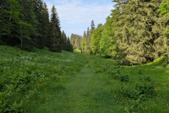
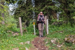
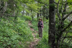
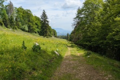
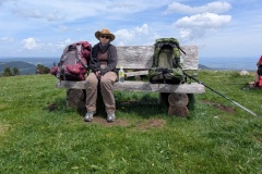
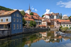
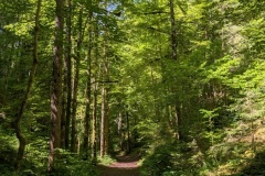
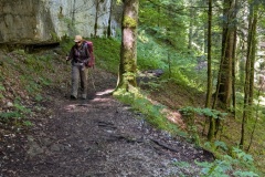
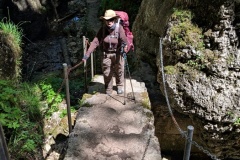
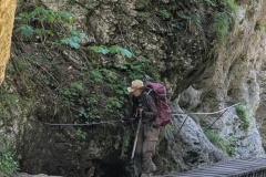
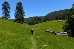
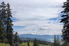
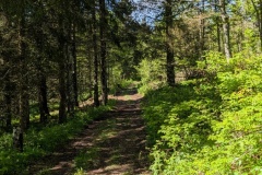
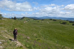
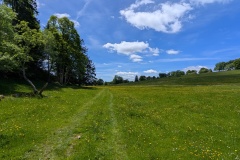
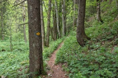
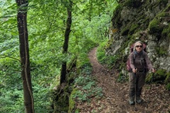
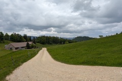
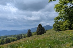
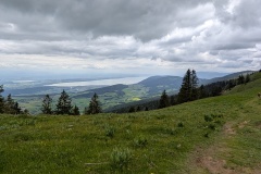
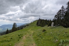
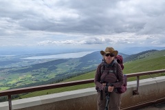
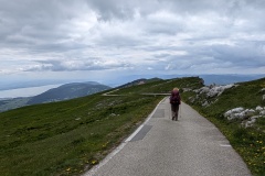
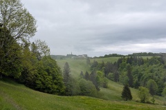
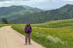
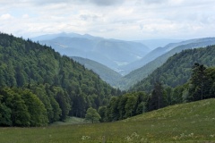
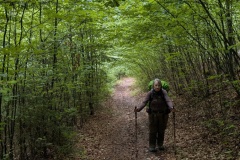
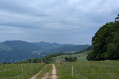
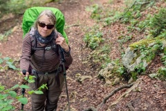
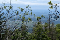
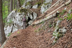
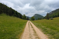
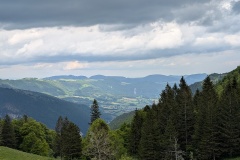
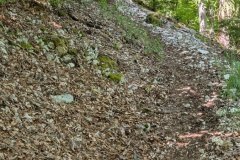
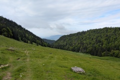
We woke to a cloudy sky, but didn’t have any showers during the day.  This was another leisurely day as we got used to walking with backpacks again.  The trail followed a river upstream through beech forest on a good road.  We reached a sign banning cars and motorbikes, except with a permit, and stating that we should be in possession of ID papers.  We walked on, crossing from Germany into Austria without even a signpost to mark the border.  We left the narrow valley that we had been in, to walk between meadows.  We heard an occasional woodpecker and cuckoo, and spotted one raptor above us.  We turned off the road onto a narrow path and worked our way up to the grounds of a luxury hotel, sadly not open and therefore no chance of a cake.  We were now on a very good path and crossed the border from Austria back into Germany; again no sign, but the Austrian road was graded while the German side had a hard surface.  The route descended through meadows to our finish for the day in the village of Unterjoch.  Nothing in the village was open, but we got a drink at the hotel.  (The hotel said if we wanted lunch we would need to go to the Panorama hotel up the valley, 5mins by car, but over an hour’s walk for us).  We walked to the bakery when it opened at 2pm and bought a cake each.  Today was warm enough while walking, but decidedly chilly if you stopped in the shade. 


Total distance: 13806 m
Max elevation: 1101 m
Total climbing: 347 m


Jura Day 01

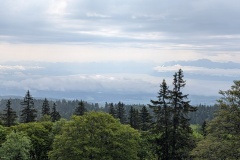
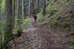
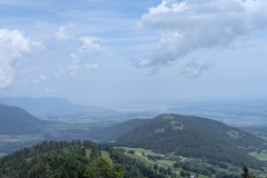
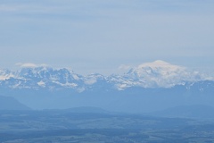
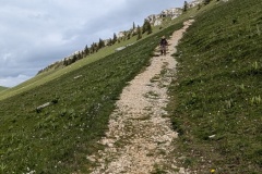
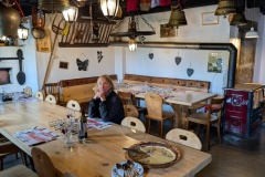
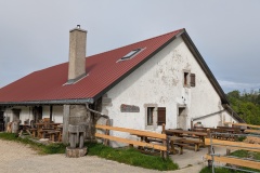
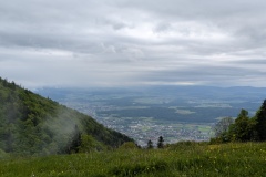
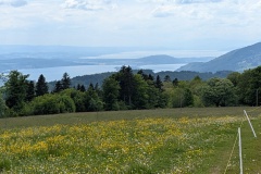
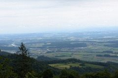
Our first day, and a good breakfast to start the day!  It was a leisurely start as we didn’t leave the hotel until 10am.  The first part was on a good road past a couple of small lakes.  The route then went  on to a graded track which zig-zagged up the hill.  We finally reached the top where there was a restaurant just over the border in Austria.  We both opted for the apple strudel with custard.  I’m not sure whether this was elevenses or lunch as it was about 11:30 when we ate.  The track then became a lot narrower as it wound up through the trees.  The route followed the border and there were numerous markers.  The newer ones were marked Germany and Austria, while the older (1844) were marked Austria and Bavaria.  There were great views to the north across the German plains, and at other times south to the mountains.  The path (signed as the E4, Maximillian Way, and Via Alpina) worked its way along the ridge and finally reached the highest point.  From there it was gradually downhill, then a steep descent, before reaching the road.  The road took us through meadows before reaching the outskirts of Meilingen.  We unfortunately didn’t bother reading a sign, and 400m later discovered the path was blocked.  A quick march back, and it was down a village road, before rejoining the official route.  We then had a couple of kilometres through the town to our accommodation on the west side of Pfronten.  This means that we can get on to the route quickly tomorrow.  We walked back in to town and had a great meal; proper Wienerschnitzel and Christine had white asparagus with hollandaise sauce (and a cocktail each to start).  This was a fairly easy day to start our trek; we have a few more easy days before heading into the mountains

Total distance: 16457 m
Max elevation: 1294 m
Total climbing: 698 m

Jura Day 00

We decided to have just a coffee and a pastry in the BA lounge and have a “full English breakfast” on the plane.  We should have known better.  First the departure was delayed because an arriving passenger was stuck on the plane (the wheelchair couldn’t get down the aisle) and then when we boarded it was announced that there was no food on the plane because the catering truck had broken down.  Breakfast therefore consisted of a packet of crisps and some biscuits, and a few glasses of champagne.

We arrived in Munich and walked past all the new (taped off) Schengen area registration machines.  We joined the large queue for passport control and finally got to the desk – Where are you going?  How long are you staying in Germany?  I’m not sure if he understood our explanation, but we were stamped into Germany.  We went to the luggage hall and found that the luggage from the flight still hadn’t been delivered despite the hour at passport control.  Our rucksacks arrived and we headed off on our rail journey to Fussen.  At least we still had plenty of time for our train connections.

The first leg was on a train to the Munich East station where we had a 45 minute wait.  The station was mobbed, with numerous hen parties and traditionally dressed men and women heading from there into central Munich.  We discovered that today is a big Munich festival with dancing and bands going on all day and night.  

The next train took us west and south of Munich.  The scenery gradually changed from flat plains to more rolling countryside, with the Alps in the distance.  More pine trees started to appear, and almost every farm had an array of solar panels.  There were large fields of panels and houses and factories were covered with them.

There were works on the rail track, and the final leg of the journey was by bus.  There was a rush for the bus, followed by a lot of people getting back off when they were told that it was the non-stop bus to Fussen, and the other bus was stopping at intermediate stations.  Forty five minutes later we arrived in Fussen, lying at the foot of the Alps.  Neuschwanstein Castle, which we walked past a few years ago on the Maximillianweg is just to the east.  That year we left Fussen and followed the Lech path upstream along the river.  This year we will initially head west along the Maximillianweg.  This is part of the E4, which goes from SW Spain to Greece, and we will be walking on it through Germany, Austria, and Switzerland, to the French border.

There’s still plenty of snow on the high Alps, but we should be below the snowline, we hope!

Jura Crest

In 2025 we will walk the Jura Crest trail, which runs approximately NE-SW along the Jura, to the north of Lakes  Neuchatel and Leman.  It starts near Zurich and finishes close to Geneva.  However, we will start further east at Fussen In Germany and follow the E4 to the start of the Jura Crest. 

https://www.myswitzerland.com/en-gb/experiences/route/jura-crest-trail/

Daily posts will appear below.


Jura Day 00

We decided to have just a coffee and a pastry in the BA lounge and have a “full English breakfast” ...

Jura Day 01

Our first day, and a good breakfast to start the day! It was a leisurely start as we didn’t leave ...

Jura Day 02

We woke to a cloudy sky, but didn’t have any showers during the day. This was another leisurely day as ...

GR10 Day48

It was a traditional start of going out the door and starting to climb.  We went up through the woods and reached the ridge line, which we were to walk along all the way to Banyuls.  Initially we were just on the north side of the ridge, as we walked along the border, mainly in woodland.  The few streams that we crossed were completely dry.  We had passed the highest point for the day, but there was still plenty of ups as we passed each summit.  There was a good amount of fast walking on grassland as we worked our way along the border.  We finally saw Banyuls in the distance; according to a signpost only 7.5km, but 3hrs of walking to go.  We realised why as we then reached a steep descent, meaning slow going as we worked our way down through rocky outcrops.  We finally reached the end of this section and discovered that rather than going up and down the narrow path over the next hill, we could walk around, along a graded track, with a very gradual descent.  This took us to a road, where we walked one hairpin bend, and took the GR10 shortcut at the next.  By now we were walking next to vineyards (the harvest started last week).  The GR10 left the road, and continued on farm tracks, with the occasional path linking them together.  There was a final short descent, and we were finally on the streets of Banyuls-sur-Mer.  The well-marked route took us to the Mairie, looking out on the Mediterranean, where the end of the GR10 was marked by a large mosaic.  A fellow walker took our photo and we took her’s.

We had made it without breaking any bits of equipment or ourselves. 


The statistics:

Walked 48 days

819.6kms

38571m climbed (4.4 times Everest or 28.7 times Ben Nevis)

One cable car down a mountain

Two buses in one day (that day’s walk was too far for one day; those that did do this section walked part, then camped)

We walked a couple of variants as the GR10 route required camping.


Postscript

Banyuls is a small seaside town, but full of mainly French and Spanish families on holiday.  A band plays afternoon and evening on the seafront, and the space in front is used by people dancing the Sardana, a traditional Catalonian dance.  We missed the fireworks the night we arrived as 10pm was way past our bedtime!  The next day we visited the laundromat, two washing machines and a tumble dryer, bizarrely situated in the carpark of the local Carrefour.

Total distance: 25444 m
Max elevation: 1246 m
Total climbing: 947 m

GR10 Day47

We each had breakfast bags from the restaurant and were all up by 6am.  We followed the shortcut, and were soon back on the GR10, walking through a nudist colony.  Luckily, we seemed to be there before anybody was working on the farm.  The track was very good and we were able to make rapid progress.  As usual, the track became a path, and we started the descent to Le Perthus.  The town, in the valley, is at one of the main crossing points between France and Spain.  We passed the Roman Fort, built to protect the Via Domitia, then a Medieval (?) tower, and finally the huge Fort de Bellegarde (XVII century) before dropping down into Le Perthus.  The motorway runs just east of the town, but the town itself was full of traffic.  There are no shops on the wholly French side of the border.  South of the border, the east side of the street is Spanish and the west side is French.  We had a drink on the French side, and looked across at the selection of cigarette shops, drinks shops, etc.  We walked the 200m north back into the completely part of the town, and passed a huge carpark for those prepared to walk to the shops in Spain.  There were huge queues of traffic in both directions, and another big queue on the motorway as we passed underneath it.  It was very hot, and we decided that walking up the road, with its gradual gradient, would probably be easier than the rocky path through the trees.  We had a reasonable amount of shade, but stopped at every kilometre marker for a drink.  We then reached a point where the road took a large hairpin and we decided to follow a track to cut the corner.  The path started well, but then deteriorated into a mixture of brambles and holly bushes.  A machete would have been useful as we fought our way through.  We could see a bit of path slightly above us and finally managed to get onto it, taking us past an old church.  The next piece of track was signposted, and we followed it to rejoin the GR10.  This led us steeply uphill, and when it passed the road, we decided it would be easier, and faster, to walk on the road.  (We should have kept on the road for the whole ascent; 4kph versus 2kph).  Again, we were the first to arrive at the gite.  This was a restaurant on the col, with a separate accommodation block, where we had a room to ourselves.  For once, our evening meal was the same as what all the other customers had chosen; a salad, bowl of pasta with mushroom sauce, half a baked Camembert, and toast with tomato spicy sauce and ham.  Dessert was Greek yoghurt with chocolate bits in it. 

The sunset was superb, all the way back to Pic Canigou, with gigantic thunder clouds over the Spanish side. 


Total distance: 25676 m
Max elevation: 938 m
Total climbing: 1140 m

GR10 Day46

It was another early start to get the climbing done before the heat.  The walk was through woodland, initially pine, and then beech forest.  There were also some areas of boulders to cross, which we thought we had left behind on Pic Canigou.  We finally reached a col and stopped for lunch in the shade.  At this point, we were right on the border with Spain.  We looked at the map and discussed, with one of our fellow walkers, the possibility of taking an alternative route through Spain to our destination back in France.  However, none of the signposts indicated a route and we were concerned that the tracks shown on our map could possibly be overgrown or dead-ends, so we decided to keep on the GR10.  The path was quite rocky at first, with slow going, before it improved somewhat.  There was then another steep descent before we joined a small road.  After three kilometres of road, we reached the village and the gite.  The gite is owned by the village, the door was unlocked, we were first to arrive, so we had the pick of the bunks.  The guardian arrived later to collect the fees.  He told us that we could have taken the route through Spain and explained the route to two walkers going westwards and that it would save them 1.5hours.  He then detailed an alternative route for those of us going east the next morning, saving both distance and climbing.  We all then headed to the local restaurant and had a very good meal.  A couple of walkers finally arrived, having apparently gone in completely the wrong direction.


Total distance: 23069 m
Max elevation: 1400 m
Total climbing: 1360 m

GR10 Day45

The forecast for the coming days was to be extremely hot, so we made sure we left as early as possible and carried lots of water.

The breakfast was slightly better than usual as we had a slice of ham and cheese each, in addition to the usual bread and marmalade or jam.  For once, we started with a long descent of close to 1200m.  The descent was the usual mixture of decent tracks and narrow, stony, steeply descending paths.  We passed a couple of dolmens in the woods, but didn’t manage to spot either.  Everyone had left early because of the predicted heat, and we were soon down in the small town of Arles-Sur-Tech.  First stop was the supermarket to stock up on supplies of water and snacks.  We then stopped at a bar and I went off in search of an ATM.  (Many of the refuges only take cash).  I reached the supposed bank building, but turned back as there was no sign of a bank, and there were only decorators’ vans outside; I assumed it was being converted into something else.  Back at the bar, the bar lady assured me the bank was “at the end of the road”, so I walked back down.  This time, I realised that the door was a security door, with a button to open it.  I got into the vestibule and there was the ATM, complete with heavy duty plastic on the floor of the vestibule, and decorators working away in the main section of the bank.  It would have helped if there had been a temporary sign, as we met three other people looking for the bank.  We then had lunch, both enjoying a tasty salad.  This was probably a mistake, as we started walking again about 1:30pm and it had become very hot in the valley.  After the first 200m of climbing, the temperature decreased slightly.  We clambered up various steep bits of path, stopping regularly for water.  We finally reached the col, and then had a slight descent through woodland.  The path onto the road led us across a suspension bridge; the sign warned that it was “two people maximum” and it certainly swayed alarmingly as we crossed separately.  It was then a couple of kilometres along the road to the accommodation.  This was run by an “off-grid” Dutch family; ecological, vegetarian, home-schooling…  However, there were conventional showers and toilets, and plenty of hot water.  Dinner was savoury pancakes, followed by sweet pancakes with delicious ice cream.  Our accommodation was in a dormitory for twelve; one of the beds was occupied all afternoon by one walker who had just completed his first day’s walk, starting at Arles-Sur-Tech.


Total distance: 22888 m
Max elevation: 1473 m
Total climbing: 928 m

GR10 Day44

The path took us along the mountain, passing the last piece of wreckage from a crashed plane.  We then dropped down the mountain, to join the old GR10 route.  This went along the mountainside on an old narrow path, with a precipitous drop to the side.  At times there were cow pats and we debated how the cows had got along the path, and what we would do if we met one.  The only one we met was sitting on a wider part of the path and we were able to manoeuvre round it. Every so often there was a small stream to cross.  There was then a very good section of wide forest track, and then a gradual, easy climb up to the col.  As we came over the col we started seeing the remains of the iron mining industry.  This had started pre-Roman, and continued to the 1950s.  As we descended we could see old mine workings and spoil heaps.  We had a quick descent to the refuge, which seemed to be an old mining accommodation block.  An exhibition there showed the terrible living and working conditions in the early part of the 20th century. 

While waiting for the meal, one of our co-walkers from the first week appeared, having completed the additional stages that we missed.


Total distance: 17010 m
Max elevation: 2182 m
Total climbing: 563 m


GR10 Day43

Today was a long walk as we circumnavigated the Pic Canigou.  There are lots of valleys running down the sides of the mountain, so our path would lead us into one, across the boulder field in the middle, and then gradually over the ridge and into the next valley.  There was an initial accent, before we lost quite a bit of height.  This took us down to a wide road in the forest, which only lasted a few hundred metres before we were back onto forest tracks and climbing again.  During the day our view northwards was continually changing as we worked our way clockwise round the mountain.  We finally crested the last, highest ridge and before us we could see the plain with Perpignan, and beyond it the blue of the Mediterranean.  It may look close, but it’s still five days away and we have another range of hills to get over.  It was a short walk down to the refuge.  We sat outside, but had to move in because of the cold, strong wind.  It seems to be getting colder as we get towards the Mediterranean weather than warmer!


Total distance: 18286 m
Max elevation: 2264 m
Total climbing: 1167 m


« Older posts

© 2025 Travelling Slowly

Theme by Anders NorénUp ↑