Walking and Sailing

Author: alasdair.geo (Page 6 of 13)

GR10 Day02

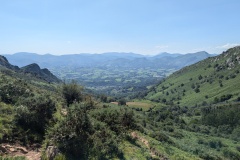
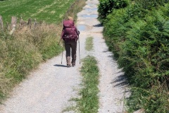
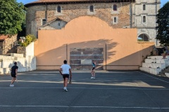
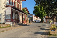
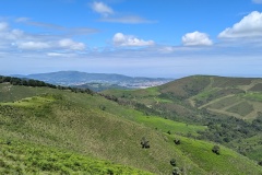
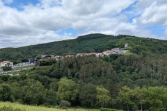
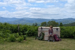
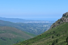
The breakfast was up to the standard of last night’s meal.  We left shortly after 9am and started the long climb.  There were plenty of people on the trail, many with no rucksacks, but quite a few who were obviously doing one of the Pyrenean routes.  We made it up to the col having climbed almost 500m and stopped for a drink and some food.  There were several horses begging for food; they all wear bells apart from the foals.  Having recovered from the climb we started on the descent, crossing over the cog railway that goes to the top of la Rhune.  The descent wasn’t too bad, though there were plenty of rocky areas requiring careful foot placement.  We finally got onto roads down in the valley.  Here we deviated from the route to avoid going into the village of Sare.  It was now getting extremely hot and we made slow progress in the afternoon because of the heat.  We climbed a cobbled track out of the village and then had a long section of tarred roads and graded tracks.  We had several breaks on this section and chatted to another couple of walkers, one of whom was planning to walk to Germany.  We walked an interesting section of road along the boundary between France and Spain; France to our left and Spain to our right.  We then dropped down to follow a section alongside a stream and it was back to crossing very muddy sections in places.  There was a final (never-ending) climb out of the stream before dropping down to the village of Ainhoa.  This really is a classic Basque village, very picturesque, and the pelota court in the village square in constant use while we sat at the bar and had a drink and our evening meal.

Total distance: 20873 m
Max elevation: 565 m
Total climbing: 934 m


GR10 Day01

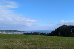
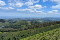
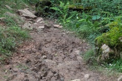
An early breakfast at 7:30 which was nothing special.  We packed and left about 8:40.  The route took us beside the sea, then started climbing through the old town (which looked fairly new).  We were soon into the country, crossing under the motorway linking France to Spain.  We followed an alternative route so rather than going up, along, and down a ridge, we contoured along on another path before rejoining the GR10.  We stopped here after about 3 hours of walking and were more than halfway to our destination.  There were lots of raptors overhead but we couldn’t decide whether they were buzzards or something larger.  There were great views looking north towards Biarritz and the long sweep of the Atlantic coastline.  We started descending and I said, looking at the map, “there’s a village ahead”.  Christine replied, “don’t get your hopes up, there will be a few houses and nothing else.”  As we entered the village, we were amazed by what we saw.  The road was in France, but on the Spanish side there were supermarkets, whisky shops, drinks outlets, cigarette shops, a giant petrol station, and a few clothes shops.  There were no houses, but a few Spanish restaurants and the French side of the road was lined with restaurants which seem to be built from wooden shacks.  There were various carparks, with about 1000 cars in total.  We saw numerous people with their supermarket trolleys full of alcohol.  We walked through “the village” and were back into France proper.  We had another steep climb, and then descended on a nice trail.  From here the trail got a lot worse and we were either picking our way round patches of mud, walking through mud, or walking carefully over large stones as we gradually descended.  There was another climb before our final descent, again very stony, down to the end of the stage and our accommodation for the night.  We were having a drink when a Danish couple arrived.  They said they had been on the trail for over 11 hours as they kept getting lost; we took about 7.5 hours including stops.  We had an excellent meal of pintxos, which are the Basque equivalent of tapas.  An early night and hopefully we can still walk tomorrow!


Total distance: 22507 m
Max elevation: 526 m
Total climbing: 1045 m

GR10 Day00

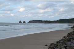
We got the taxi to Gatwick to find that our plane had been delayed.  This was our first experience flying with easyJet, so we were surprised when we were given complimentary passes to an airport lounge.  We finally got on the plane two hours late.  This wasn’t too much of a problem as the next leg of our journey from Biarritz to Hendaye was by train, originally involving a long wait at the station.  We got to the station, bought a cheese and ham sandwich for our first evening meal in France, and just had time to eat it before the train arrived.  Twenty minutes later we arrived in Hendaye and then had a ten minute walk to our hotel.  We checked in and then walked to the official start of the GR10 by the beach.  There were a lot of surfers, all wearing wetsuits.  We assume the next time we get to the sea it will be rather warmer.  We stocked up on water and are now, we hope, ready to start the long walk to the Mediterranean.


GR10

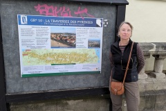
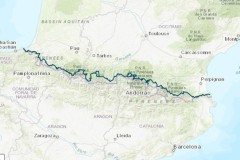
This year we will follow the GR10.  It is a traverse of the Pyrenees, from Hendaye on the Atlantic to Banyuls-sur-Mer on the Mediterranean.  Daily blogs will file here.

The official GR10 website has lots of useful information, including all the gpx track data.  It can be found here:

Accueil

We also bought the e-book version of Trekking the GR10 (Cicerone).  It’s generally good, though some of the links for accommodation take you to Chinese websites.  Some of the route descriptions are a bit garbled (especially if there is a variant on the day), and in one case the route described is now closed, and looked dangerous.  


Mapping page

A page where I will display some maps.

You can turn layers off and on

You can filter by occupation; “press this to clear” turns everything back on

Touching in middle of a tithe will give owner’s name

Press view map to get the map to fill the whole screen

Red triangles show photos (not in correct place at the moment)

Part 2 – Visiting Santa Marta

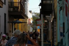
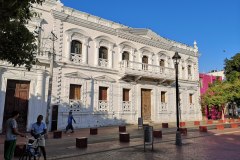
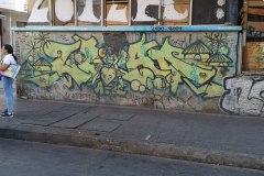
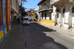
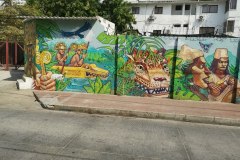
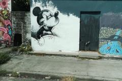
We watched the BBC programme “Colombia with Simon Reeves” on our sail over.  It had changed much of what we imagined about Colombia, and so we set out for our first evening ashore feeling fairly safe.  It was still holiday season, we left the marina, crossed the beach road, and entered a maze of small streets.  First impressions were of incredible street art on some of the buildings, and a mixture of both good and ramshackle buildings.  We crossed the plaza, where the break dancers practised every night, and then entered a narrower street.  This was full of restaurants, with tables out onto the street.  We chose one, and had a superb, cheap, dinner, while watching the street musicians, break dancers, hawkers selling cigars and cheap goods, and all the families on their evening promenade.  We saw two “tourist police” on Segways, but felt completely safe.  What’s not to like about two pieces of filet mignon and veg, a dessert, a mojito, and a beer, all for £11 ?

Our first full day in Santa Marta included a city tour organised by ARC.  This showed us both rich and poor areas of the city, before arriving at a former sugar estate which is now a public park.  There was an old distillery to see and the owner’s house, where Simon Bolivar had died (17 December 1830).  There was also a huge building in memory of him.  Then it was back to the centre of the town, and the Cathedral, where Bolivar was buried.  In 1842 Bolivar’s body was removed to Caracas and now only his heart is in the cathedral.  In the evening it was back to “restaurant street” for another great meal, accompanied by music and break dancers.

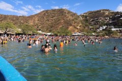
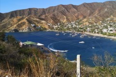
We decided to explore the Tayrona National Park, famous for its jungle paths and superb beaches.  The problem was that it was the weekend, and all the guidebooks warned about the queues to get into the park.  However, an alternative route in was to taxi to the village just north of Santa Marta and travel to the park from there by boat.  Brilliant, except when we got to the boat in Taganga it was still very windy.  The port captain announced that no boats would be allowed to make the 10km journey to the national park, but our boat captain said he could take us snorkelling instead.  We had a quick hop round the first headland and then drift snorkelled all the way back.  We went ashore for lunch at Playa Grande where we had grilled local fresh fish and beer before fighting our way through the crowds on the beach and in the water to get back on our boat.  A short boat trip and taxi ride, and we were soon back on Barracuda.

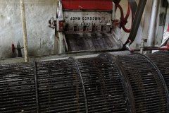
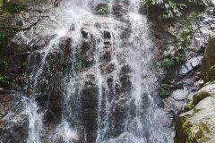
 Another day, another trip ashore, this time to Minca (full of backpackers and fast gaining a reputation for eco-holidays), 600m up in the Sierra Nevada, but only 20km from Santa Marta.  Rather than going on the ARC tour, we booked our own guide, and what a great guide we had; Juan, the owner of Bukap Travels.  After the main road to Minca, we continued to ascend along worsening tracks, before dropping down into the valley where La Victoria coffee farm is situated.  This was founded by a British couple in 1892.  They had originally arrived to work on railway development, how they found their way to this remote valley is anyone’s guess.  A stream runs through the valley and provides all the electricity for the farm.  We got to see the whole production process from the beans on the bushes, through to the finished coffee bags.  Most of the crop goes to the big coffee producers and only a limited amount is actually roasted and bagged on the farm.  The inside of the processing unit was extraordinary, most of the equipment appears to date from the original setup!  We then visited a local waterfall for a quick swim, before lunch at an eco-lodge with views over the surrounding countryside.  Juan was a great guide with excellent knowledge of Colombian geography, people, politics, and its recent turbulent drug wars.  (Motorbike muggings were almost wiped out overnight by a law decreeing that two men are not allowed on a motorbike, and all crash helmets have to have the licence plate number on them, maybe a lesson here for London?)

To finish, I’ll admit that there is extreme poverty (mainly Venezuelan) in Colombia, with tens of thousands having arrived recently. For example, I bought a couple of purses from street hawkers which were made by weaving banknotes together (each note being the equivalent of 0.003p).  The street hawkers and children begging were everywhere in Santa Marta, but wouldn’t hassle if you said no.  It was also not unusual to see locals missing a leg from stepping on a mine; many fled to this quieter area during the troubles.

Would I visit again?  Definitely.  Great scenery, food, and people, although the Foreign Office does advise against all travel to certain areas!  

There was just time for another ARC briefing, and food and fuel replenishment, before the next leg of our journey, this time to the remote San Blas Islands off the NE coast of Panama.

A few things that stood out in Santa Marta were: the street art, musicians, and the incredible break dancers.  I’ve included some photos and videos to show the standard!

(I forgot to mention the drugs patrol boat that moored on the pontoon across from us.  They were all heavily armed on their 12-man RIB with very large outboard motors.  The bows were encased in sheet metal, which judging by the dents, had been used for ramming on quite a number of occasions.)


Part 5 – Panama City and area

The Darien Scheme, the Panama Canal, General Noriega, drug running, shady banking, and the Panama Papers.  That was about the sum of my knowledge on Panama, and, of course, the Spaniards shipping all the gold from South America through Panama.

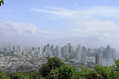
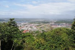
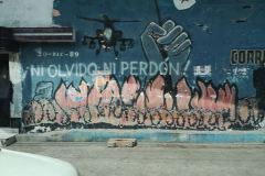
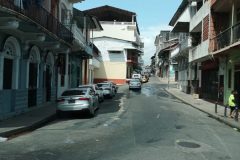
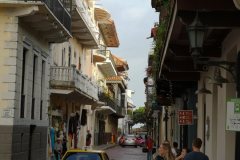
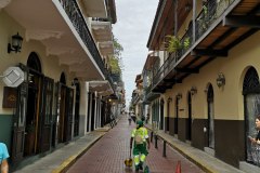
On our first day in Panama City we had signed up for a city tour.  This included a Panamanian breakfast which was nothing special, but the tour improved after that.  The Panama Canal Zone was ceded to the USA in 1903 and driving around Panama City it was very obvious where the zone had been; the administration area had nice buildings, and tree lined streets.  Protests started in 1958, and the Zone was finally returned to Panama in 1979.  Our guide took us to various sites where protestors had been killed; now there are wall murals and monuments marking the spots.  We drove (and walked) to a hilltop to get views of the old and new Panama City.  Then there was a thirty minute drive to see the 2metre wide cobbled track which was the link between the Pacific and the Caribbean.  All of the South American gold had gone along this track as it was taken to Europe.  We hopped back on the bus for a tour of the Old Town.  On the way we passed General Noriega’s residence, now an empty plot, passed through a fairly rough area, and entered the Old Town.  It was similar to Santa Marta, with many churches and balconies on buildings.  The guide pointed out the newly-laid cobbles on the streets of the Old Town, “if you are walking and notice that it’s tar rather than cobbles, turn back quickly as you are not in a good area.”  The drive back to the marina introduced us to Panama City’s evening traffic jams, with queues several kilometres long.
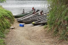
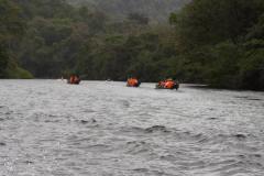
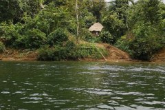
The next day we visited an Indian village.  After a bus trip back across much of the isthmus, heading NE, we then boarded dugout canoes for a thirty minute journey up river.  The canoes each took about a dozen people, with a large outboard on the back.  Our guides were wearing loin cloths, but I did notice that the fishermen we passed were all wearing shorts and football jerseys.

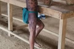
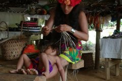
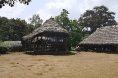
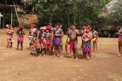
The village was genuine, with huts built on stilts and tree frond roofs.  There was also a large, communal hut where the villagers had laid out their handicrafts for sale.  We had a question and answer session with the chief.  All the women were bare-breasted, but the chief admitted that all the children attending the village school went there in trousers, white shirts, and ties, for the boys, and dresses for the girls.  We had some tasty food, and dancing, before heading back.  Our dugout needed baling for the whole journey back.  Then it was on to the bus and another encounter with the evening traffic jam.

The next day was spent provisioning at the massive shopping mall; this was at least two or three times bigger than the largest Dubai shopping mall.  On the way back (in the evening traffic jam) our taxi had a puncture.  This meant emptying all our shopping out so that the driver could get at the spare wheel.  As we had already been in the queue for about twenty minutes, and having lost another twenty minutes changing the tyre, our driver felt it was only right that we could regain our position by driving down the wrong side of the road.  He earned his tip!

We got a message saying that the repairs to the mainsail had been delayed.  We therefore decided that we would motorsail around the Las Perlas Islands for a few days, which would allow us to join the ARC party there, and then come back to Panama City.  This would also help me with my departure a few days later.

Our evenings on the boat were spent listening to the “General Noriega playlist”.  If you remember your history, the US Marines blasted the Vatican Embassy, where he had taken refuge, with tunes such as Born to Run, The Party’s Over, Wanted Dead or Alive… The full list can be found on the internet!


AA Day 36

We had breakfast in the restaurant across the street from our apartment.  At 8 o’clock it was surprisingly busy for a Saturday morning; all men apart from one woman.  The pastries were very good, as was the coffee.

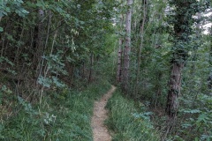
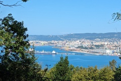
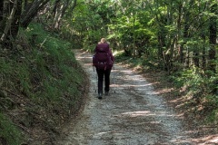
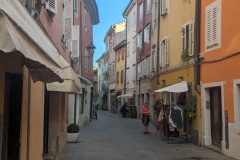
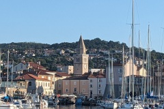
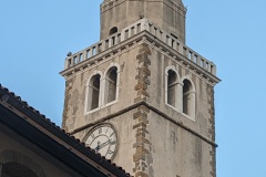
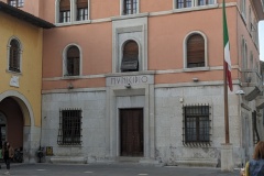
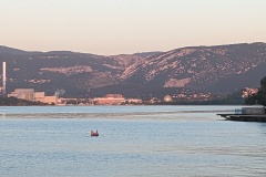
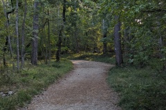
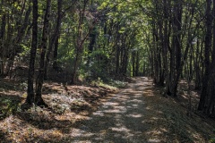
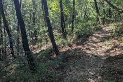
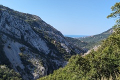
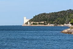
We walked down the road to the next village, Dolina, and then set off on the path through the woods.  The path narrowed as it wound its way round the hillside.  After a while, we spotted some jackets and bags abandoned near the path.  Others had reported even seeing torn up passports, so it is a route for illegal immigrants.  Where they have come from, where they are going to, and why they abandon clothing were questions we debated but couldn’t answer.  We passed through another small village, and then walked on a very stony path down to the valley.  We walked along the road for a short distance and then onto another (flat) path.  This opened out onto tarmac as it passed a large industrial estate.  Other blogs had warned about this section as we made our way around a roundabout, across slip roads, and under the motorway, but it was well-signed and fairly safe.  We then had the final climb of our walk, along a road which could have dated from Roman times to the 18th century.  We reached the outskirts of Muggia, and had a couple of kilometres to walk downhill into the centre of town.  We walked into the old town, through the piazza, past the cathedral, and there was the marker for the end of the trail.  We’ve walked 599kms, and climbed over 18000m vertically in 36 days of walking.  Muggia is a nice little town, but is dwarfed by Trieste directly across the bay.  We will take the ferry over tomorrow and enjoy a couple of days there.


Total distance: 16384 m
Max elevation: 200 m
Total climbing: 465 m


AA Day 35

Today was a good example of some of the bad (and good) things about the Alpe-Adria trail.  We walked 23km, but finished only 3km due south from where we started (maybe 5km by road).  On the other hand, the walking was nice and there was some great scenery.

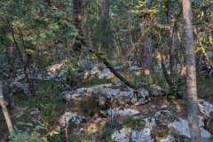
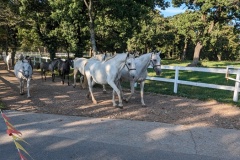
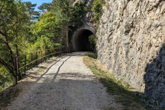
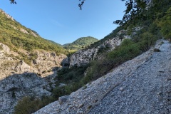
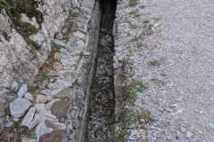
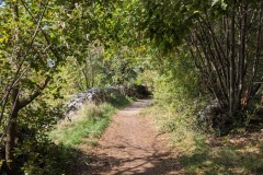
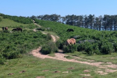
We left Basovizza and had about 5km of walking to finish the previous stage to Lipica.  The path was very good as it meandered through the forest.  There were lots of information boards describing the birds, trees, reptiles, etc.  In this area the ground was littered with huge boulders and it was difficult to imagine how the land could have been farmed.  The path then joined onto an arrow-straight old road, which had been built to take trade from Trieste into the rest of the Austro-Hungarian empire.  We then passed through a wall marking the boundary of the Lipica estate, which is where the Lipizzaner horses are bred.  The wall was built more than seven hundred years ago, to keep the horses in, and the locals out.  The contrast was enormous, with huge areas of pasture, absolutely no boulders, and oak trees dotted about.  As we walked round the estate, we came to two men next to open gates, with ropes laid across the road.  This was familiar to how the cattle are moved around Hambledon, so we asked, and were told that the Lipizzaner horses were on their way.  We waited a few minutes, the ropes were raised, and about 100 horses and foals came down the track, across the road, and into the pasture.  We carried on down the road, past various signs for casinos, and then started our only big climb of the day.  This took us to the top of Kokos, where we had a coffee at the cabin on the summit, followed by a long, easy descent.  We then walked along the old railway track; easy walking but it does mean that the curves are very long, and it doesn’t go the most direct route.  There were a couple of short tunnels and we then had a nasty zig-zag path, with lots of loose stones, down into the valley.  The descent was short compared to some of our previous Alpine descents, and we were soon at the bottom of the valley.  The path then took us up the other side, and the views were Alpine, though we were only a few kilometres from the centre of Trieste.  We walked alongside the Roman aqueduct, built to take water to Trieste, and were soon at our night’s accommodation, which features a section of the aqueduct in the entrance.

We’ve had a look at some of the comments on tomorrow’s final leg.  This has recently been re-routed, increasing it from 17km to 24km.  We’ve decided to follow the old route, which follows the Via Alpina path.  There’s some interesting comments on this, we shall report tomorrow!


Total distance: 23111 m
Max elevation: 674 m
Total climbing: 521 m


AA Day 34

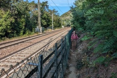
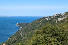
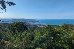
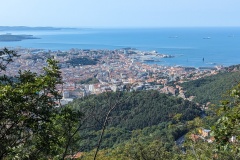
Rather than walking back up the same staircase to get to the Alpe-Adria trail, we decided to take the next one along the coast.  We had a pleasant 20 minutes along the promenade, with people out walking, jogging, and swimming.  Then our workout started….  The narrow staircase led round the side of a building and then straight up the hillside, finally levelling out when it reached the railway line.  There was a pedestrian tunnel under the tracks, and then a short section alongside the railway.  The path started upwards again, and then turned into steps.  We finally reached a small road, running along the hillside, having climbed 500 steps.  This took us to a busy road, where we only had a short section to walk, before starting on a track going up the hill.  The gradient on this wasn’t too bad, but it meant each section between the u-turns was quite long.  As we neared the Alpe-Adria trail, we could see it only a few vertical metres above us, but we still had to walk a further 100m on our track, heading in the opposite direction to where we really wanted to go, before they finally merged.  We were now on a wide promenade about 250m above sea level, with views to Trieste and along the coast.  There were many people out walking on this section.  The promenade gradually sloped up, but was flat compared to what we had just climbed.  At the end of it, we crossed a busy road, and entered a small side road.  This ended as it turned into a track.  At this point there were signs and lots of tape saying that the path could not be used because of work being carried out.  There was no alternative route, nobody working, and we could see the end of the taped off area about 50m ahead, so we walked round the barrier, ducked under the tape, and carried on.  Seconds later we were through the forbidden area.  The path meandered through woodland before we crossed a motorway and arrived in a small village.  We stopped here for a drink and a piece of cake.  We now walked through a wooded area, but with lots of walls from the time when the area was cultivated.  Many of these are being repaired.  There were also lots of depressions, some up to 10m deep, and many entrances to caves.  The hotel at the end of the stage seems to be shut for the whole of October, so we stopped in the village of Basovizza, about 5km before the end of the stage.  It’s a small village, but has another huge physics research laboratory located next to it.  The road through the village is very busy, as it seems to be a shortcut from Trieste to Slovenia.  We are actually just a couple of kilometres outside Trieste and went to a fish restaurant this evening; our first choice restaurant was booked out, and even our restaurant was very busy, we assume with people from Trieste.


Total distance: 17991 m
Max elevation: 424 m
Total climbing: 670 m


« Older posts Newer posts »

© 2025 Travelling Slowly

Theme by Anders NorénUp ↑