Walking and Sailing

Category: GR10 (Page 1 of 5)

GR10 Day48

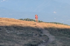
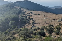
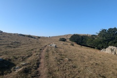
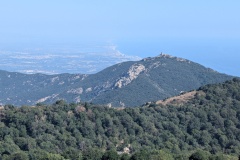
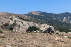
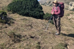
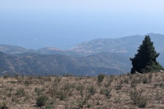
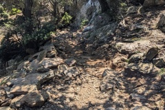
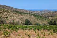
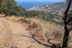
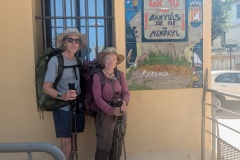
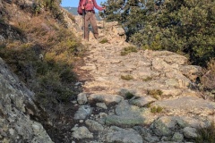
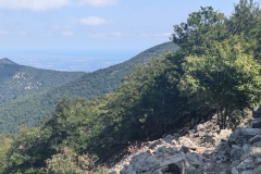
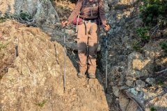
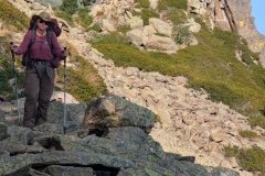
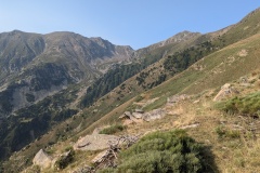
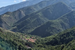
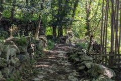
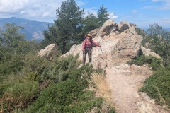
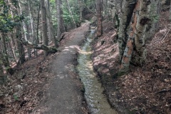
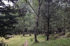
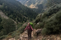
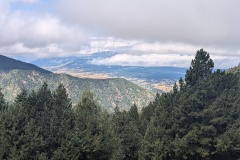
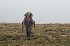
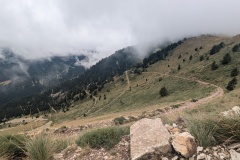
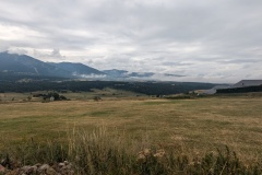
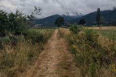
It was a traditional start of going out the door and starting to climb.  We went up through the woods and reached the ridge line, which we were to walk along all the way to Banyuls.  Initially we were just on the north side of the ridge, as we walked along the border, mainly in woodland.  The few streams that we crossed were completely dry.  We had passed the highest point for the day, but there was still plenty of ups as we passed each summit.  There was a good amount of fast walking on grassland as we worked our way along the border.  We finally saw Banyuls in the distance; according to a signpost only 7.5km, but 3hrs of walking to go.  We realised why as we then reached a steep descent, meaning slow going as we worked our way down through rocky outcrops.  We finally reached the end of this section and discovered that rather than going up and down the narrow path over the next hill, we could walk around, along a graded track, with a very gradual descent.  This took us to a road, where we walked one hairpin bend, and took the GR10 shortcut at the next.  By now we were walking next to vineyards (the harvest started last week).  The GR10 left the road, and continued on farm tracks, with the occasional path linking them together.  There was a final short descent, and we were finally on the streets of Banyuls-sur-Mer.  The well-marked route took us to the Mairie, looking out on the Mediterranean, where the end of the GR10 was marked by a large mosaic.  A fellow walker took our photo and we took her’s.

We had made it without breaking any bits of equipment or ourselves. 


The statistics:

Walked 48 days

819.6kms

38571m climbed (4.4 times Everest or 28.7 times Ben Nevis)

One cable car down a mountain

Two buses in one day (that day’s walk was too far for one day; those that did do this section walked part, then camped)

We walked a couple of variants as the GR10 route required camping.


Postscript

Banyuls is a small seaside town, but full of mainly French and Spanish families on holiday.  A band plays afternoon and evening on the seafront, and the space in front is used by people dancing the Sardana, a traditional Catalonian dance.  We missed the fireworks the night we arrived as 10pm was way past our bedtime!  The next day we visited the laundromat, two washing machines and a tumble dryer, bizarrely situated in the carpark of the local Carrefour.

Total distance: 25444 m
Max elevation: 1246 m
Total climbing: 947 m
GR10 Day47

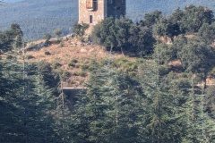
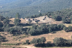
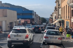
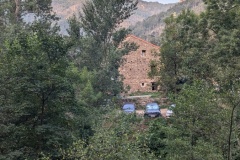
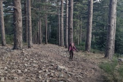
We each had breakfast bags from the restaurant and were all up by 6am.  We followed the shortcut, and were soon back on the GR10, walking through a nudist colony.  Luckily, we seemed to be there before anybody was working on the farm.  The track was very good and we were able to make rapid progress.  As usual, the track became a path, and we started the descent to Le Perthus.  The town, in the valley, is at one of the main crossing points between France and Spain.  We passed the Roman Fort, built to protect the Via Domitia, then a Medieval (?) tower, and finally the huge Fort de Bellegarde (XVII century) before dropping down into Le Perthus.  The motorway runs just east of the town, but the town itself was full of traffic.  There are no shops on the wholly French side of the border.  South of the border, the east side of the street is Spanish and the west side is French.  We had a drink on the French side, and looked across at the selection of cigarette shops, drinks shops, etc.  We walked the 200m north back into the completely part of the town, and passed a huge carpark for those prepared to walk to the shops in Spain.  There were huge queues of traffic in both directions, and another big queue on the motorway as we passed underneath it.  It was very hot, and we decided that walking up the road, with its gradual gradient, would probably be easier than the rocky path through the trees.  We had a reasonable amount of shade, but stopped at every kilometre marker for a drink.  We then reached a point where the road took a large hairpin and we decided to follow a track to cut the corner.  The path started well, but then deteriorated into a mixture of brambles and holly bushes.  A machete would have been useful as we fought our way through.  We could see a bit of path slightly above us and finally managed to get onto it, taking us past an old church.  The next piece of track was signposted, and we followed it to rejoin the GR10.  This led us steeply uphill, and when it passed the road, we decided it would be easier, and faster, to walk on the road.  (We should have kept on the road for the whole ascent; 4kph versus 2kph).  Again, we were the first to arrive at the gite.  This was a restaurant on the col, with a separate accommodation block, where we had a room to ourselves.  For once, our evening meal was the same as what all the other customers had chosen; a salad, bowl of pasta with mushroom sauce, half a baked Camembert, and toast with tomato spicy sauce and ham.  Dessert was Greek yoghurt with chocolate bits in it. 

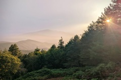
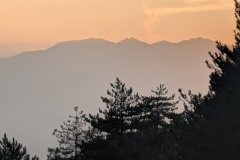
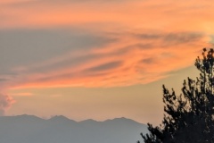
The sunset was superb, all the way back to Pic Canigou, with gigantic thunder clouds over the Spanish side. 


Total distance: 25676 m
Max elevation: 938 m
Total climbing: 1140 m

GR10 Day46

It was another early start to get the climbing done before the heat.  The walk was through woodland, initially pine, and then beech forest.  There were also some areas of boulders to cross, which we thought we had left behind on Pic Canigou.  We finally reached a col and stopped for lunch in the shade.  At this point, we were right on the border with Spain.  We looked at the map and discussed, with one of our fellow walkers, the possibility of taking an alternative route through Spain to our destination back in France.  However, none of the signposts indicated a route and we were concerned that the tracks shown on our map could possibly be overgrown or dead-ends, so we decided to keep on the GR10.  The path was quite rocky at first, with slow going, before it improved somewhat.  There was then another steep descent before we joined a small road.  After three kilometres of road, we reached the village and the gite.  The gite is owned by the village, the door was unlocked, we were first to arrive, so we had the pick of the bunks.  The guardian arrived later to collect the fees.  He told us that we could have taken the route through Spain and explained the route to two walkers going westwards and that it would save them 1.5hours.  He then detailed an alternative route for those of us going east the next morning, saving both distance and climbing.  We all then headed to the local restaurant and had a very good meal.  A couple of walkers finally arrived, having apparently gone in completely the wrong direction.


Total distance: 23069 m
Max elevation: 1400 m
Total climbing: 1360 m

GR10 Day45

The forecast for the coming days was to be extremely hot, so we made sure we left as early as possible and carried lots of water.

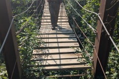
The breakfast was slightly better than usual as we had a slice of ham and cheese each, in addition to the usual bread and marmalade or jam.  For once, we started with a long descent of close to 1200m.  The descent was the usual mixture of decent tracks and narrow, stony, steeply descending paths.  We passed a couple of dolmens in the woods, but didn’t manage to spot either.  Everyone had left early because of the predicted heat, and we were soon down in the small town of Arles-Sur-Tech.  First stop was the supermarket to stock up on supplies of water and snacks.  We then stopped at a bar and I went off in search of an ATM.  (Many of the refuges only take cash).  I reached the supposed bank building, but turned back as there was no sign of a bank, and there were only decorators’ vans outside; I assumed it was being converted into something else.  Back at the bar, the bar lady assured me the bank was “at the end of the road”, so I walked back down.  This time, I realised that the door was a security door, with a button to open it.  I got into the vestibule and there was the ATM, complete with heavy duty plastic on the floor of the vestibule, and decorators working away in the main section of the bank.  It would have helped if there had been a temporary sign, as we met three other people looking for the bank.  We then had lunch, both enjoying a tasty salad.  This was probably a mistake, as we started walking again about 1:30pm and it had become very hot in the valley.  After the first 200m of climbing, the temperature decreased slightly.  We clambered up various steep bits of path, stopping regularly for water.  We finally reached the col, and then had a slight descent through woodland.  The path onto the road led us across a suspension bridge; the sign warned that it was “two people maximum” and it certainly swayed alarmingly as we crossed separately.  It was then a couple of kilometres along the road to the accommodation.  This was run by an “off-grid” Dutch family; ecological, vegetarian, home-schooling…  However, there were conventional showers and toilets, and plenty of hot water.  Dinner was savoury pancakes, followed by sweet pancakes with delicious ice cream.  Our accommodation was in a dormitory for twelve; one of the beds was occupied all afternoon by one walker who had just completed his first day’s walk, starting at Arles-Sur-Tech.


Total distance: 22888 m
Max elevation: 1473 m
Total climbing: 928 m

GR10 Day44

The path took us along the mountain, passing the last piece of wreckage from a crashed plane.  We then dropped down the mountain, to join the old GR10 route.  This went along the mountainside on an old narrow path, with a precipitous drop to the side.  At times there were cow pats and we debated how the cows had got along the path, and what we would do if we met one.  The only one we met was sitting on a wider part of the path and we were able to manoeuvre round it. Every so often there was a small stream to cross.  There was then a very good section of wide forest track, and then a gradual, easy climb up to the col.  As we came over the col we started seeing the remains of the iron mining industry.  This had started pre-Roman, and continued to the 1950s.  As we descended we could see old mine workings and spoil heaps.  We had a quick descent to the refuge, which seemed to be an old mining accommodation block.  An exhibition there showed the terrible living and working conditions in the early part of the 20th century. 

While waiting for the meal, one of our co-walkers from the first week appeared, having completed the additional stages that we missed.


Total distance: 17010 m
Max elevation: 2182 m
Total climbing: 563 m


GR10 Day43

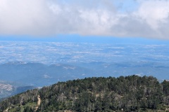
Today was a long walk as we circumnavigated the Pic Canigou.  There are lots of valleys running down the sides of the mountain, so our path would lead us into one, across the boulder field in the middle, and then gradually over the ridge and into the next valley.  There was an initial accent, before we lost quite a bit of height.  This took us down to a wide road in the forest, which only lasted a few hundred metres before we were back onto forest tracks and climbing again.  During the day our view northwards was continually changing as we worked our way clockwise round the mountain.  We finally crested the last, highest ridge and before us we could see the plain with Perpignan, and beyond it the blue of the Mediterranean.  It may look close, but it’s still five days away and we have another range of hills to get over.  It was a short walk down to the refuge.  We sat outside, but had to move in because of the cold, strong wind.  It seems to be getting colder as we get towards the Mediterranean weather than warmer!


Total distance: 18286 m
Max elevation: 2264 m
Total climbing: 1167 m
 

GR10 Day42

A good dinner last night night, featuring a venison stew.  The deer had been shot by the gite owner with his bow and arrow.  Excellent bread at breakfast, with three different kinds, all made locally, and pots of homemade jams and marmalades.

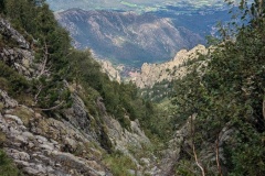
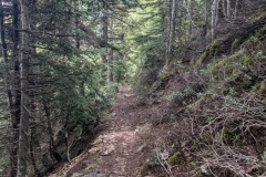
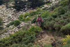
It was a quick climb on an old track, up through the terraces, to the col.  The whole hillside around the village was covered in terraced, all now abandoned.  On the other side we followed the old track down the hillside, occasionally walking bits of the new road, before more of the old track room is into the village of Py.  We had a cold drink at a small shop in the village.  We dropped down to the river and then started climbing again.  The scenery and vegetation now looked very Mediterranean, and even some villages in the distance had red tiled roofs, as opposed to the black slate that we have seen for so long.  We climbed up through the pine forest, past rocky outcrops, finally emerging at a busy carpark.  We stopped for our snack lunch and then started climbing again.  There was a fairly steep section, before we reached a “leat”.  This is a channel that takes the water from a stream along the hillside.  There was a good path alongside it, and we made rapid progress as there was only a slight incline.  We were amazed at the number of people that we met on the track coming towards us; all would be returning from their ascent of Pic Canigou.  We reached the refuge quickly and checked in.  During the evening meal the rain started very heavily and there was a dash by people to bring in the drying clothes.


Total distance: 17185 m
Max elevation: 1789 m
Total climbing: 1141 m


GR10 Day41

Today could be summarised as dry, drizzle, dry, drizzle, rain, dry, rain, dry, with lots of low cloud.

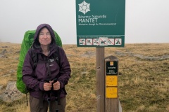
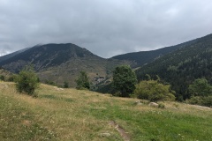
We crossed the stream and walked through the forest, which was a mixture of silver birch and pine.  All the beech trees have disappeared.  We walked through the middle of a herd of cows and one went down the track in front of us.  We looked round, and the entire herd seemed to be following us.  We crossed a small stream and were relieved to see the cows go off to investigate some campers and their tent.  Then the climbing started, up through the trees, on a mixture of straight up and zigzags.  We stopped to put our rain jackets on, cleared the trees, and walked up the grassy slope to the col in the rain.  There wasn’t much to see because of the cloud so we carried on.  The path led across the hillside and then started to descend.  We took this slowly, as by now all the stones and tree roots were very wet and slippy.  We got down the worst of the slope and then walked through a large old terraced area, on an old path.  We could see hundreds of terraces on the hillside across from us, around the village of Mantet.  There was no water covering the bridge (ford) in the valley bottom, so we walked straight across, and then up the track to Mantet.  We found the gite, and then went to a neighbouring restaurant for some late lunch.  The sun came out and we were able to put our clothes, socks, and boots out to dry.


Total distance: 12030 m
Max elevation: 2348 m
Total climbing: 701 m

GR10 Day40

Back to the usual routine of out the door and start climbing…

The initial path was on the road, but within a couple of hundred metres we were into the forest and climbing.  The path eventually levelled off, before heading about 2km along a narrow path on one side of the valley so that we could get to a crossing point and start back down the other side.  On the other side we were pleased to find that we were on a nice wide track and made good progress.  Of course, all good things come to an end, and we were soon on a very steep climb of about 800m to get to the col.  The path zigzagged up, then finally the gradient decreased.  We still had a few steep sections before the final walk of a few hundred metres up a grassy slope to reach the top.  There was no view behind us because of the thick cloud, but we could see the path down the other side.  We didn’t wait for the cloud to clear as it was chilly at the top, but quickly started the descent.  This was on an old rough road, going backwards and forwards across the hillside, but much preferable to the previous GR10 routing, which headed straight down the slope.  After several of these zigzags the refuge finally came into view.  A few more traverses and we were down at the refuge.  We were one of the first to check-in, so got our choice of beds in the dormitory – hopefully no snorers tonight! 

The refuge is the most basic that we have stayed in; no showers and the toilet is situated about 100m away.


Total distance: 17522 m
Max elevation: 2379 m
Total climbing: 1300 m

GR10 Day39

(We must be getting near the end as last night’s wine was from the Banyuls area)

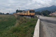
The forecast for the day was not good, and we woke to heavy rain.  We delayed our start for it to stop and reckoned if we walked quickly we could get to the end of the stage before the forecasted afternoon rain.  The walk (for once) started out on a broad forest track, with only small changes in elevation.  It made a pleasant change from the usual “out the door and start climbing”.  The forest was  interspersed with more open bits of moorland.  After a while we were able to take our rain jackets off.  All of the area is used for cross country skiing and the trail was very well marked.  We gradually descended, passing the edge of an upmarket ski village, and then through the village of Bolquere.  From here we walked a short section of road, rather than the GR10, and passed the highest railway station in France.  As we got to the level crossing, the gates closed, and “the yellow train” came through.  It had half a dozen coaches, with one completely open carriage.  We were now in a very wide, shallow valley, stretching to the north east and south west.  We crossed the main road and followed a country lane to another village where we were able to buy some food for our lunch.  We then walked through some fields, the first time since the Basque country, and climbed out of the valley to Planes, where the refuge was.  We had timed it well, as the rain started again just after our arrival.  


Total distance: 18912 m
Max elevation: 2017 m
Total climbing: 350 m
« Older posts

© 2024 Travelling Slowly

Theme by Anders NorénUp ↑