Walking and Sailing

Category: Jura (Page 3 of 3)

Jura Day 04

The plan for today, following the E4, would take us up onto the ridge and along it, finally finishing at the Staufner hut.  After yesterday, we decided to take an easier route, along the valley and then climbing the final 400m to the hut.  It would still be over 1000m of ascent, but would save us the additional 400m of ups and downs along the ridge.

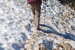
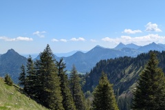
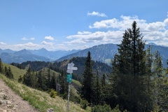
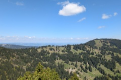
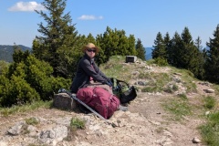
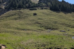
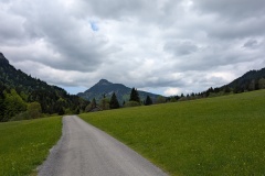
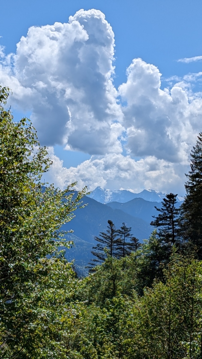
We left the hotel and were soon on the valley road, walking through a number of ski areas.  There wasn’t much evidence of them apart from the regular, huge car park signs showing the number of free spaces.  We counted over 3000 spaces in the valley!  It was a pleasant walk along the valley, gradually climbing as the road went through meadows and woodland.  We passed a barrier and after that there was only us and the occasional cyclist.  Everyone has e-bikes; we’ve seen maybe two in a hundred actual “propel them yourself” bicycles.  We eventually reached the road end and started our climb to the hut.  The first section was on a good track with a solid surface which wound its way up the hillside.  We then went onto a much narrower path with some fairly steep sections.  There was a final climb (see photo), and then we were on the summit and heading down to the top of the ski lift.  From there it was another 10 minutes to the Staufner hut.  We had booked a “double room” so we had a room with a bunk bed in it to ourselves.  Dinner was pasta with pesto sauce, and some sort of sponge cake; OK but nothing special.  The hut looked out to the north over the German plains; a great view.  We retired to bed early.  I was in the top bunk which was probably the greatest challenge of the day; the ladder extended above the height of the bed and you had to negotiate the space without hitting your head or back on the ceiling.  I managed the contortion without cramping any muscles.  (getting down the next morning was equally tricky)


Total distance: 18054 m
Max elevation: 1734 m
Total climbing: 1082 m

Jura Day 03

I woke up in the night sneezing, runny nose, and sore throat.  I hoped it was an allergy so I took some piriton.  Unfortunately it wasn’t, and I spent all day feeling awful.  The first climb took us up a ski slope, followed by a slight descent, and then another climb to the top.  The views were fantastic, south to the Alps, and north to the German plains.  We could just see the lakes at Fussen where we had started our trek. We then had a fairly perilous descent, scrambling down the path, before the path improved.  I then made a mistake with the navigation, adding a kilometre to our walk.  Returning to the correct trail, we then had another climb to the final summit.  Again, there were great views all round.  The descent was through the pine forest, down a ridge, with many roots to be avoided.  We reached the surfaced road and had a long descent down to the town, with lots of sweeping turns.  I was even having to take regular stops on this easy descent as I felt so bad.  We reached the town of Sonthofen and went into the first pharmacy that we saw, and bought some cough (?) mixture and throat tablets.  We then walked on to the station and took a taxi to our hotel for the night, rather than walking the additional 5km uphill.  I was asleep by about 8:30pm.  (I blame the Frenchwoman behind me on the plane who spent the entire flight coughing and sneezing)


Total distance: 17770 m
Max elevation: 1654 m
Total climbing: 923 m


Jura Day 02

We woke to a cloudy sky, but didn’t have any showers during the day.  This was another leisurely day as we got used to walking with backpacks again.  The trail followed a river upstream through beech forest on a good road.  We reached a sign banning cars and motorbikes, except with a permit, and stating that we should be in possession of ID papers.  We walked on, crossing from Germany into Austria without even a signpost to mark the border.  We left the narrow valley that we had been in, to walk between meadows.  We heard an occasional woodpecker and cuckoo, and spotted one raptor above us.  We turned off the road onto a narrow path and worked our way up to the grounds of a luxury hotel, sadly not open and therefore no chance of a cake.  We were now on a very good path and crossed the border from Austria back into Germany; again no sign, but the Austrian road was graded while the German side had a hard surface.  The route descended through meadows to our finish for the day in the village of Unterjoch.  Nothing in the village was open, but we got a drink at the hotel.  (The hotel said if we wanted lunch we would need to go to the Panorama hotel up the valley, 5mins by car, but over an hour’s walk for us).  We walked to the bakery when it opened at 2pm and bought a cake each.  Today was warm enough while walking, but decidedly chilly if you stopped in the shade. 


Total distance: 13806 m
Max elevation: 1101 m
Total climbing: 347 m


Jura Day 01

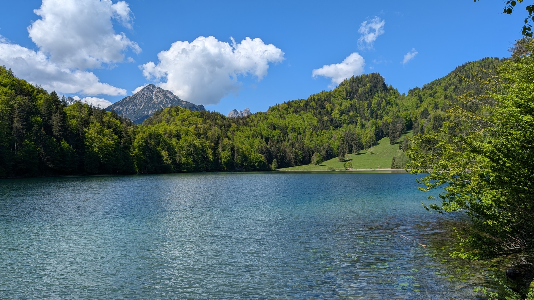
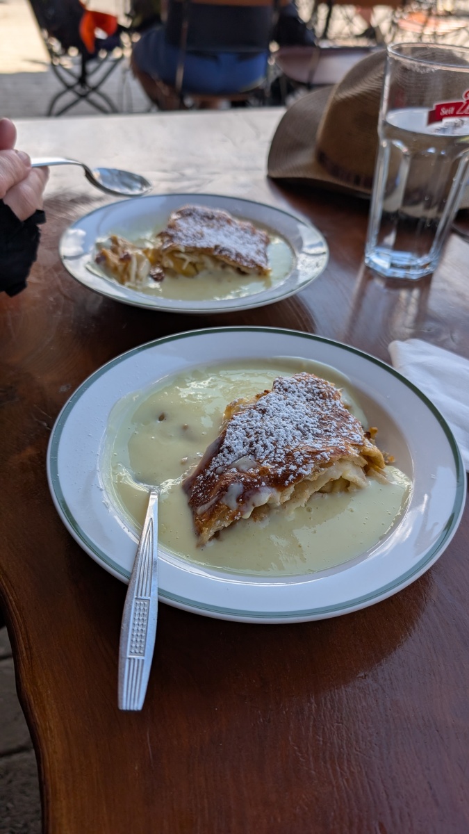
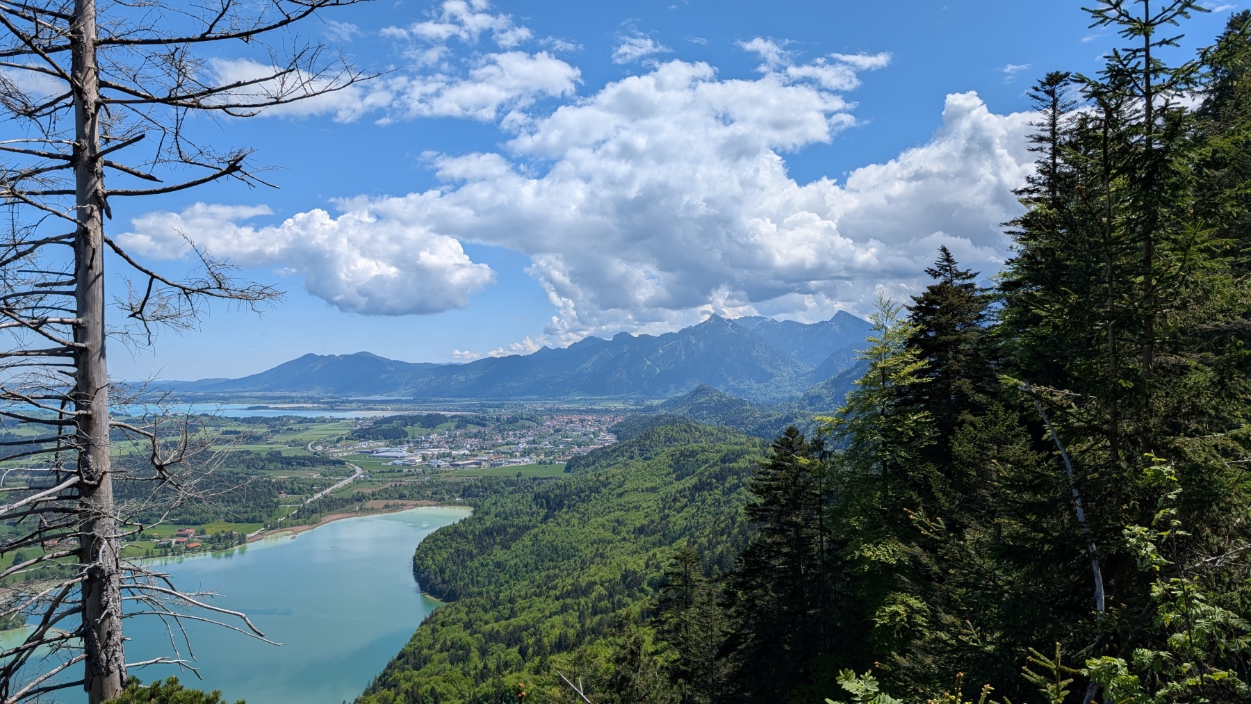
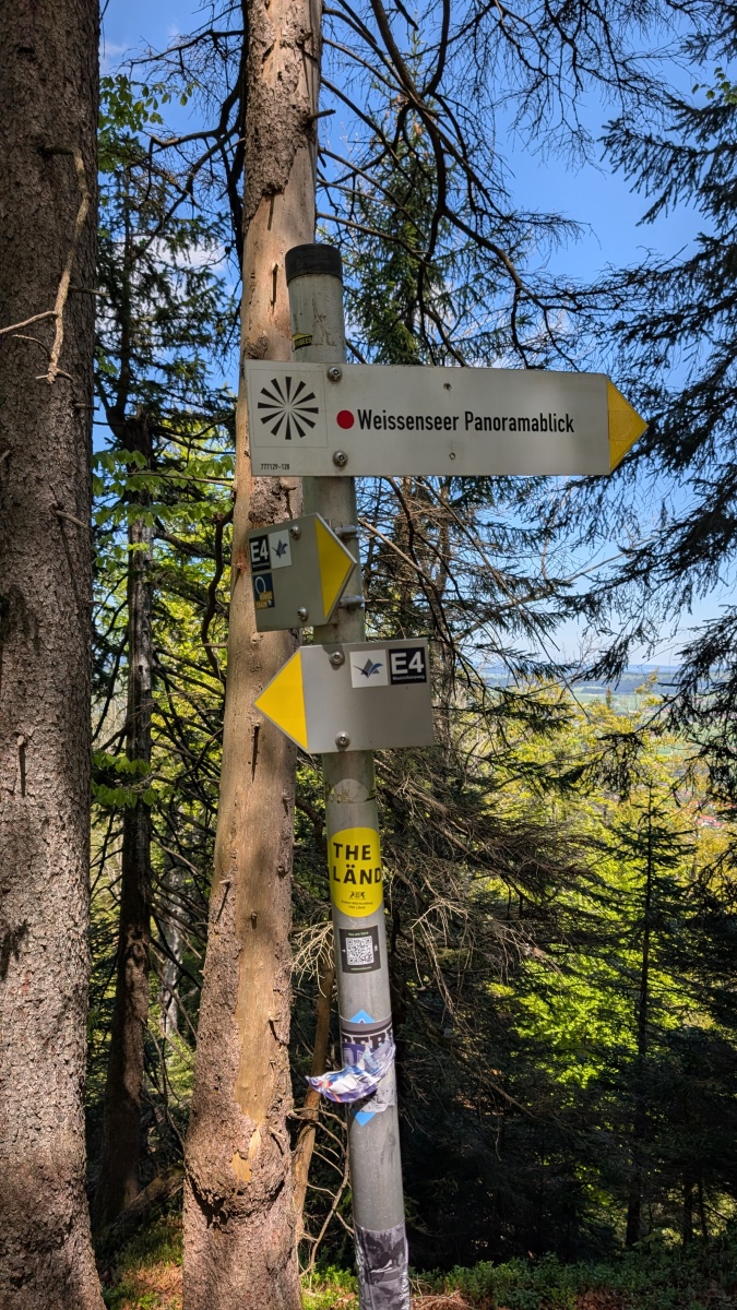
Our first day, and a good breakfast to start the day!  It was a leisurely start as we didn’t leave the hotel until 10am.  The first part was on a good road past a couple of small lakes.  The route then went  on to a graded track which zig-zagged up the hill.  We finally reached the top where there was a restaurant just over the border in Austria.  We both opted for the apple strudel with custard.  I’m not sure whether this was elevenses or lunch as it was about 11:30 when we ate.  The track then became a lot narrower as it wound up through the trees.  The route followed the border and there were numerous markers.  The newer ones were marked Germany and Austria, while the older (1844) were marked Austria and Bavaria.  There were great views to the north across the German plains, and at other times south to the mountains.  The path (signed as the E4, Maximillian Way, and Via Alpina) worked its way along the ridge and finally reached the highest point.  From there it was gradually downhill, then a steep descent, before reaching the road.  The road took us through meadows before reaching the outskirts of Meilingen.  We unfortunately didn’t bother reading a sign, and 400m later discovered the path was blocked.  A quick march back, and it was down a village road, before rejoining the official route.  We then had a couple of kilometres through the town to our accommodation on the west side of Pfronten.  This means that we can get on to the route quickly tomorrow.  We walked back in to town and had a great meal; proper Wienerschnitzel and Christine had white asparagus with hollandaise sauce (and a cocktail each to start).  This was a fairly easy day to start our trek; we have a few more easy days before heading into the mountains

Total distance: 16457 m
Max elevation: 1294 m
Total climbing: 698 m

Jura Day 00

We decided to have just a coffee and a pastry in the BA lounge and have a “full English breakfast” on the plane.  We should have known better.  First the departure was delayed because an arriving passenger was stuck on the plane (the wheelchair couldn’t get down the aisle) and then when we boarded it was announced that there was no food on the plane because the catering truck had broken down.  Breakfast therefore consisted of a packet of crisps and some biscuits, and a few glasses of champagne.

We arrived in Munich and walked past all the new (taped off) Schengen area registration machines.  We joined the large queue for passport control and finally got to the desk – Where are you going?  How long are you staying in Germany?  I’m not sure if he understood our explanation, but we were stamped into Germany.  We went to the luggage hall and found that the luggage from the flight still hadn’t been delivered despite the hour at passport control.  Our rucksacks arrived and we headed off on our rail journey to Fussen.  At least we still had plenty of time for our train connections.

The first leg was on a train to the Munich East station where we had a 45 minute wait.  The station was mobbed, with numerous hen parties and traditionally dressed men and women heading from there into central Munich.  We discovered that today is a big Munich festival with dancing and bands going on all day and night.  

The next train took us west and south of Munich.  The scenery gradually changed from flat plains to more rolling countryside, with the Alps in the distance.  More pine trees started to appear, and almost every farm had an array of solar panels.  There were large fields of panels and houses and factories were covered with them.

There were works on the rail track, and the final leg of the journey was by bus.  There was a rush for the bus, followed by a lot of people getting back off when they were told that it was the non-stop bus to Fussen, and the other bus was stopping at intermediate stations.  Forty five minutes later we arrived in Fussen, lying at the foot of the Alps.  Neuschwanstein Castle, which we walked past a few years ago on the Maximillianweg is just to the east.  That year we left Fussen and followed the Lech path upstream along the river.  This year we will initially head west along the Maximillianweg.  This is part of the E4, which goes from SW Spain to Greece, and we will be walking on it through Germany, Austria, and Switzerland, to the French border.

There’s still plenty of snow on the high Alps, but we should be below the snowline, we hope!

Newer posts »

© 2025 Travelling Slowly

Theme by Anders NorénUp ↑