We had an excellent dinner, then went to our bedroom and set the alarm for 5:45. This was going to be a long day’s walk, with a significant climb. And the forecast was for 30C….
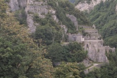
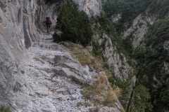
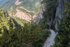
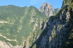
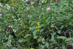
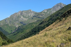
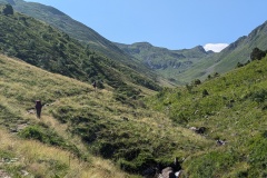
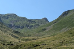
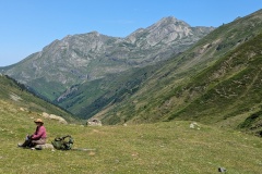
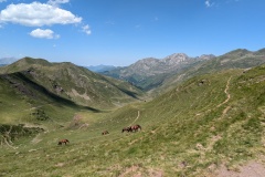
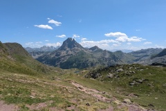
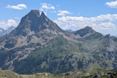
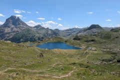
We followed the path down into the village, then marched briskly along the old road. The new road seems to be a major link between France and Spain. The path then started to climb and we had good views of Fort Portalet, build to guard the border against Spain in 1842, but apparently famous for the political figures who were later imprisoned there. We then started up the cliff walk. This path was cut into the hillside to allow timber to be taken down to the river for transport to Bayonne and the rebuilding of the French navy. The path was wide, but it was a sheer drop into the gorge below. We finally got into the upper valley, and then had a very long climb up the next valley. There were lots of wild irises in the lower part, and we finally got into the higher pastures with lots of cattle and horses. A final push and we reached the Col d’Ayous. There were great views back to the north and now into the next valley to the south. The path down was not very good, probably due to the number of people who come up from the southern side. We made it to the valley floor, and then had a long walk down the valley, through a beech forest, before reaching the tarred road. There were dozens of people walking up the valley, all heading for the refuge, or to camp next to it. We continued down the road, finally reaching Gabas and our accommodation. There was a very good communal meal; us and two French couples whom we have seen for the past several days.
Tomorrow’s walk is even tougher than today, so we will either walk via the road, or do a mixture of bus and road walking, rather than following the GR10.
Max elevation: 2192 m
Total climbing: 1740 m
