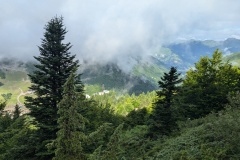
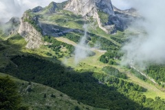
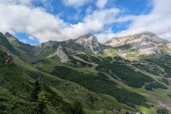
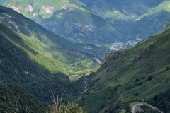
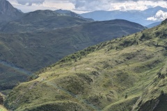
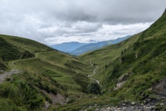
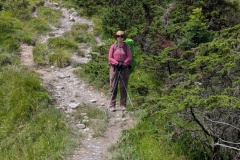
Last night when we arrived in Gourette it was foggy and it was still foggy this morning. We started walking after our reasonable breakfast (nectarine each and a boiled egg for Christine, ham and cheese for me, plus croissants and coffee) and made our way through the ski resort. It’s one of those 1960s types, with lots of blocks of flats. The path zig-zagged through the resort, then we were zig-zagging up the hillside, both of us wearing our rain jackets because of the fog and water dripping off the trees. As we climbed higher the cloud gradually lifted and we could see Gourette below us, and Laruns far down in the valley. We took our jackets off as the temperature increased, and finally reached the col after lots more zig-zagging up the hill. We could see cloud coming up the valley so we swiftly dropped down into the next valley. The drizzle was on our backs, so we didn’t bother with waterproofs. We were soon down at the road. The GR10 previously followed the road, but had been diverted down into the valley, then back up to road level about 5km further along as the road was deemed “dangerous”. We had been monitoring the traffic on our descent and decided that there wasn’t enough to be concerned about so took the road. You could see a long way along and up the road so it was easy to position ourselves safely for the few cars, cyclists, and motorbikes that came down. There were two tunnels; the first about 200m long but with plenty of room for pedestrians and cars, and the second about 50m long. We made rapid progress along the road, finally stopping for a rest where the GR10 came back up and crossed the road. We had saved ourselves probably 200m of climbing and had had an easy walk on a good surface. The sun was shining again and we had another short final climb before the long descent down to Arrens-Marsous. We arrived early, about 2pm, but managed to get in to the gite and have a shower (and remove one tick on me). The reviews of “The Salamander” give high praise for the food so we are looking forward to tonight’s meal!
Max elevation: 1801 m
Total climbing: 715 m
