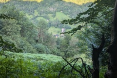
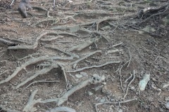
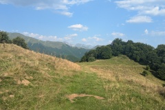
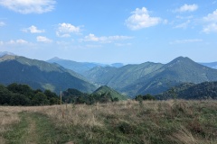
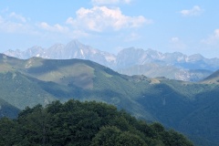
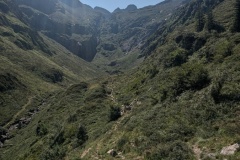
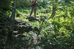
As we left the gite there were two loud rolls of thunder. Thunder had been forecast for the afternoon, but not at 8am! Luckily, nothing came of it. We immediately started to climb. The trail was very steep in places as it worked its way up the hillside to intersect with the GR10. Reaching the GR10, the angle eased considerably, and we soon reached the first col. We must be getting fitter as we were significantly faster than the time on the signpost. We worked our way further uphill and then had to traverse along the hillside on a very narrow path. It was a case of don’t look down, and don’t trip. We had been working our way round a large ski area and we now reached a restaurant that was open. We stopped for a coffee, but unfortunately no cake as they were still preparing for lunch. The descent started and we had to work our way along one side of a valley before crossing a bridge and coming back on the other side. The descent steepened considerably and we had to contend with mud and slippery wet rocks. At times we zigzagged down short sections of cliff. In many places the step down was large, so with all these problems we made slow progress as we descended. We eventually reached a junction where straight on led to the village and turning right allowed you to follow the GR10 to the village, but taking two hours longer. Of the seven people we saw on the GR10, all including us, took the direct route.
Coming into Aulus-les-bains, we were amazed at the number of parked cars. All the spaces in the village were full, and there was a long line of cars parked on the road leading out of the village. There doesn’t seem to be anything special happening in the village tonight.
Our accommodation does not supply breakfast and the cafes don’t open until 8am, so we have purchased some supplies as tomorrow will be a long day and we need to start early. We have about 1km up the road at the start before the GR10 branches off, so we’ve decided we will try and hitch a ride if anything passes us on that section, which will save us about 2hrs of climbing. Fingers crossed for tomorrow! The rain had just started at 6pm, but no thunder yet.
Max elevation: 1653 m
Total climbing: 1106 m
From the Wkipedia entry about the spa where you are staying tonight:
‘Access to the commune is by the D8F road which branches from the D3 west of the commune and follows a tortuous route to the village before continuing by an even more tortuous route to join the D18 in the east.’
Apparently it markets itself as the “Cholesterol Spa”.
The descent on slippery rocks looks hazardous. It all looks more akin to rock climbing than hiking. Do you use ropes?
You need Kendal Mint Cake for a quick sugar fix when there are no cakes available.
And what’s Christine thinking/saying about these slippery descents and narrow paths along hills where you mustn’t fall or look down?
Every day is an endurance test! However, a British lecturer that we met said we would be burning 5000cals a day…