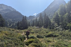
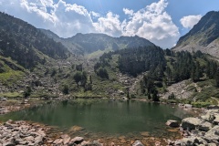
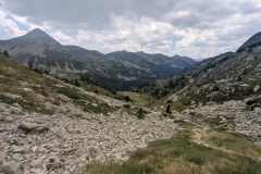
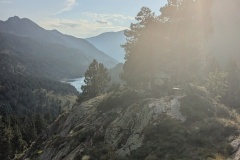
We left at 9am after another poor breakfast. The old path immediately started climbing and twenty minutes later we were as the hot pools. The water temperature was about 30C, but strangely the spring that could be seen flowing into the pools was cold. We walked on past, climbing alongside a stream and finally crossing it, where we stopped for a break. The path now turned into a much narrower valley and the gradient increased. We stopped at another lake for a rest, before starting on the climb up to the col. The path was not too bad and avoided most of the boulder fields. Cloud was forming, so we were not in direct sunlight for most of the climb. The descent was on the usual poor path down to the valley. We could now see thunder clouds forming, so kept up our speed. The path flattened out in the valley floor and we could see the refuge, unfortunately higher up than we were. It was only a short climb, and time for a beer, soft drink, and crepes. The refuge was busy, mainly because people were worried about the weather. Thirty minutes later the wind picked up and the rain started. The common room was packed; many were hoping to walk further and others were waiting for the rain to stop to pitch their tents.
The water at the refuge is contaminated (we had been warned about this a few days before) and there were lots of warning signs in the refuge. We therefore did not even wash in the evening (or the next morning)
Max elevation: 2321 m
Total climbing: 1313 m


Water may be contaminated, but so long as the beer does not run out, all should be well.
Perhaps pemmican is the answer to the food situation.