Back to the usual routine of out the door and start climbing…
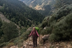
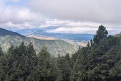
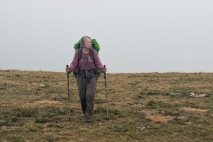
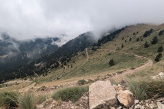
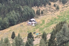
The initial path was on the road, but within a couple of hundred metres we were into the forest and climbing. The path eventually levelled off, before heading about 2km along a narrow path on one side of the valley so that we could get to a crossing point and start back down the other side. On the other side we were pleased to find that we were on a nice wide track and made good progress. Of course, all good things come to an end, and we were soon on a very steep climb of about 800m to get to the col. The path zigzagged up, then finally the gradient decreased. We still had a few steep sections before the final walk of a few hundred metres up a grassy slope to reach the top. There was no view behind us because of the thick cloud, but we could see the path down the other side. We didn’t wait for the cloud to clear as it was chilly at the top, but quickly started the descent. This was on an old rough road, going backwards and forwards across the hillside, but much preferable to the previous GR10 routing, which headed straight down the slope. After several of these zigzags the refuge finally came into view. A few more traverses and we were down at the refuge. We were one of the first to check-in, so got our choice of beds in the dormitory – hopefully no snorers tonight!
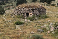
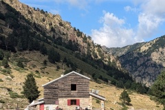
The refuge is the most basic that we have stayed in; no showers and the toilet is situated about 100m away.
Max elevation: 2379 m
Total climbing: 1300 m
