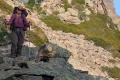
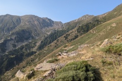
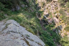
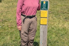
The path took us along the mountain, passing the last piece of wreckage from a crashed plane. We then dropped down the mountain, to join the old GR10 route. This went along the mountainside on an old narrow path, with a precipitous drop to the side. At times there were cow pats and we debated how the cows had got along the path, and what we would do if we met one. The only one we met was sitting on a wider part of the path and we were able to manoeuvre round it. Every so often there was a small stream to cross. There was then a very good section of wide forest track, and then a gradual, easy climb up to the col. As we came over the col we started seeing the remains of the iron mining industry. This had started pre-Roman, and continued to the 1950s. As we descended we could see old mine workings and spoil heaps. We had a quick descent to the refuge, which seemed to be an old mining accommodation block. An exhibition there showed the terrible living and working conditions in the early part of the 20th century.
While waiting for the meal, one of our co-walkers from the first week appeared, having completed the additional stages that we missed.
Max elevation: 2182 m
Total climbing: 563 m
