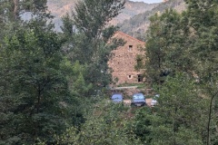
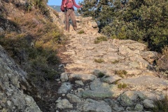
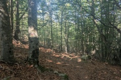
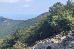
It was another early start to get the climbing done before the heat. The walk was through woodland, initially pine, and then beech forest. There were also some areas of boulders to cross, which we thought we had left behind on Pic Canigou. We finally reached a col and stopped for lunch in the shade. At this point, we were right on the border with Spain. We looked at the map and discussed, with one of our fellow walkers, the possibility of taking an alternative route through Spain to our destination back in France. However, none of the signposts indicated a route and we were concerned that the tracks shown on our map could possibly be overgrown or dead-ends, so we decided to keep on the GR10. The path was quite rocky at first, with slow going, before it improved somewhat. There was then another steep descent before we joined a small road. After three kilometres of road, we reached the village and the gite. The gite is owned by the village, the door was unlocked, we were first to arrive, so we had the pick of the bunks. The guardian arrived later to collect the fees. He told us that we could have taken the route through Spain and explained the route to two walkers going westwards and that it would save them 1.5hours. He then detailed an alternative route for those of us going east the next morning, saving both distance and climbing. We all then headed to the local restaurant and had a very good meal. A couple of walkers finally arrived, having apparently gone in completely the wrong direction.
Max elevation: 1400 m
Total climbing: 1360 m


