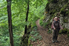
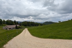
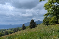
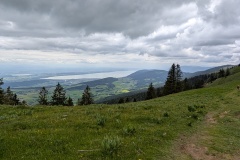
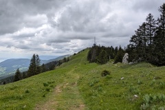
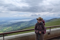
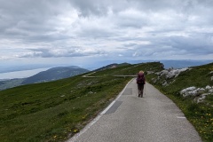
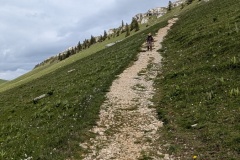
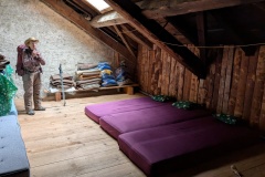
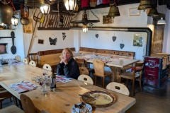
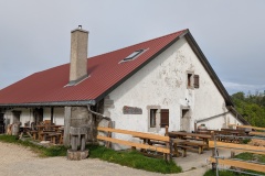
We took the train back up to Frinvillier and immediately started climbing. It was a series of short zig-zags climbing up the steep hillside through the trees. As we neared the top the zig-zags got longer, finally disappearing, but the trail still led upwards. In total, we climbed for about 4km of walking. There was then a short descent on a road before we started climbing again. The forest thinned out, and we walked through huge meadows of wild flowers, with lots of orchids. We finally reached a seat and stopped for a drink and some chocolate. The target for today was the giant transmitter on top of the mountain, which we had spotted yesterday. We could now see several lakes below us to the south, though it was not possible to see the Alps. The path led up and down over a number of small hills, and then we started the climb up to the transmitter; 400m of climbing over about 5km. The wind increased as we climbed and it got a lot colder. We finally reached the transmitter, with 360 degree views, and then started the descent, at last on the road. We descended to the hotel that marked the end of today’s stage, but knew that it was closed. Our accommodation was about another 3km of walking, first a steep descent down the hillside, then along a small road. As we approached, a dog came barking down the hillside, but then was happy to accompany us to the “metairie”. There seem to be quite a lot of metairie in the French speaking part of the Jura; farmhouses that offer meals and also possibly accommodation. We had a very traditional evening meal; rosti potatoes with onions and baked Tomme (Christine) and cordon rouge (Alasdair) and salad, and a tart to finish. The sleeping accommodation is definitely the most basic so far, but this is the only place available.
Max elevation: 1608 m
Total climbing: 1415 m
I feel you need to channel your inner Heidi!
and your yodelling !